Economic Revitalization Project · France

ZFU Saint Pol sur Mer Active
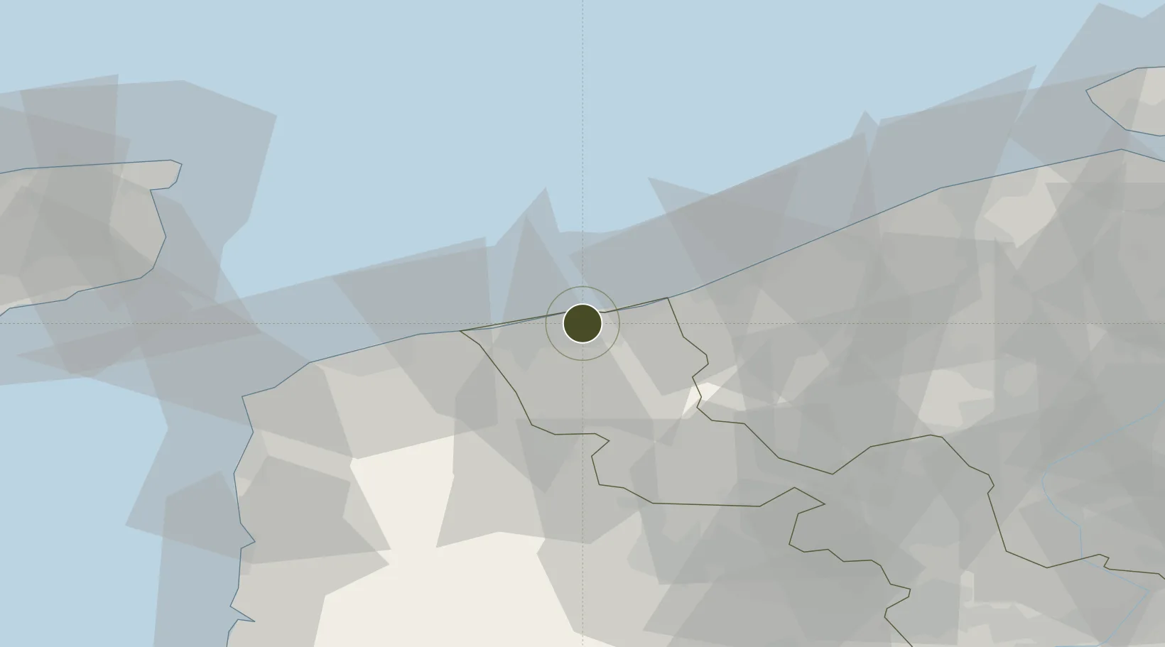
51.0306°, 2.3343°
168 ha
Zone area
4.2 km
Nearest port
23.2 km
Nearest airport

Gateway access

Nearest neighbours — logibook spatial index (haversine) over the source coordinates

Zone profile

Zone type
Economic Revitalization Project
Open Zone Map
Region
Nord
Open Zone Map
Status
Active
Open Zone Map
Management
Public
Open Zone Map
Operator
Commune de Saint Pol sur Mer
Open Zone Map
Legal framework
Décret no 65-939 du 8 novembre 1965, Décret du 9 Octobre 2008
Open Zone Map

Location

Location of ozm-1983
Natural Earth 10m (public domain) · Nord · ozm-1983 · 51.03, 2.33GoogleOSMYandex

Nearby Logistics Neighbours

Ports
  1. 1Dunkerque Port Est4 km
  2. 2Gravelines16 km
  3. 3Nieuwpoort31 km
  4. 4Calais35 km
  5. 5Oostende47 km
Nearest neighbours — logibook spatial index (haversine) over the source coordinates
Airports
  1. 1Koksijde Air Base23 km
  2. 2Calais Marck Airport28 km
  3. 3Ostend-Bruges International Airport42 km
  4. 4Merville-Calonne Airport51 km
  5. 5Flanders International Airport Kortrijk-Wevelgem66 km
Nearest neighbours — logibook spatial index (haversine) over the source coordinates
Cities
  1. 1Saint-Pol-sur-Mer1 km
  2. 2Cappelle-la-Grande4 km
  3. 3Grande-Synthe5 km
  4. 4Armbouts-Cappel5 km
  5. 5Téteghem7 km
Nearest neighbours — logibook spatial index (haversine) over the source coordinates
Trade Zones
  1. 1ZFU Calais36 km
  2. 2ZFU de Lille et de Loos65 km
  3. 3ZFU Tourcoing67 km
  4. 4ZFU Hem et Roubaix70 km
  5. 5Discovery Park - Sandwich Enterprise Zone75 km
Nearest neighbours — logibook spatial index (haversine) over the source coordinates
DatabookThe Record of Consolidated Knowledge
France beyond logistics?
Browse databook

All Sources

Trade ZonesOpen Zone Map
CC BY
Portsthe NGA World Port Index
Public domain (US gov)
AirportsOurAirports
Public domain
LocationsUN/LOCODE
UN/LOCODE — free
← France trade zones