Medium airport · Netherlands
Woensdrecht Air BaseEHWO
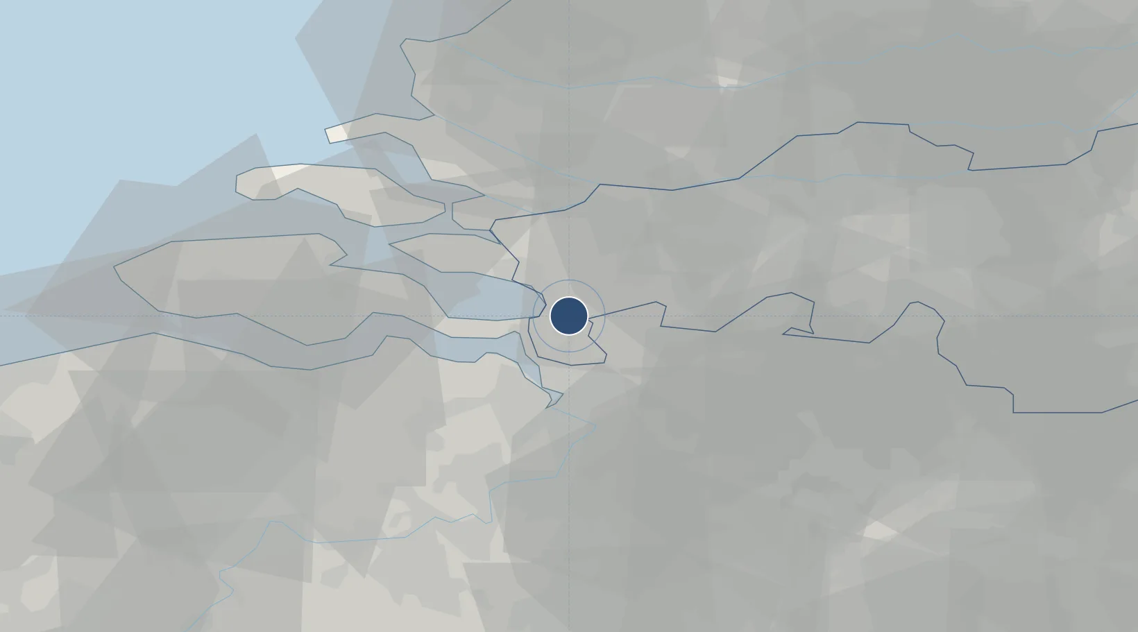
51.4491°, 4.3420°
8,015 ft
Longest runway
1
Runways
63 ft
Elevation
Runway & Layout

Radio Frequencies
TWR
120.43 MHz
Woensdrecht Tower
GND
121.68 MHz
Woensdrecht Ground
APP
123.58 MHz
RAPCON West Approach
ARR
123.58 MHz
Woensdrecht Arrival
FIS
132.35 MHz
Dutch MIL Info
Navaids
WDT TACAN Woensdrecht 115.00 MHz
Runways · 1
| Runway | Dimensions | Surface | True heading | Lit |
|---|---|---|---|---|
| 07/25 | 8,015 × 148ft | Asphalt | 067° | ✓ |
Airport Specifications
IATA code
WOE
ICAO code
EHWO
Airport class
Medium airport
Scheduled service
No
Runway surface
Asphalt
Served city
Hoogerheide
Location
Nearby Logistics Neighbours
Airports
- 1Antwerp International Airport (Deurne)30 km
- 2Gilze Rijen Air Base43 km
- 3Rotterdam The Hague Airport57 km
- 4Brussels Airport62 km
- 5Eindhoven Airport72 km
Cities
- 1Ossendrecht6 km
- 2Bergen op Zoom8 km
- 3Zandvliet10 km
- 4Rilland12 km
- 5Roosendaal13 km
Ports
- 1Hansweert24 km
- 2Antwerpen26 km
- 3Terneuzen38 km
- 4Dordrecht46 km
- 5Vlaardingen50 km
Trade Zones
- 1ZFU Tourcoing116 km
- 2ZFU Hem et Roubaix118 km
- 3ZFU Condé sur lEscaut122 km
- 4ZFU de Lille et de Loos130 km
- 5ZFU Maubeuge, Louvroil135 km
DatabookThe Record of Consolidated Knowledge
Netherlands beyond logistics?