Channel & Berth Profile
Pilotage, Tugs & Services
Pilotage compulsoryYES
Pilotage advisableYES
Potable waterYES
Diesel bunkersYES
MedicalYES
Garbage disposalYES
Facilities & Capabilities
Container—
Ro-Ro—
Liquid bulk—
Dry bulk—
Oil terminal—
Break bulk—
Dry dock—
RepairsNO
BunkeringYES
Rail linkYES
Dangerous cargo—
ISPS security—
Harbour Specifications
Harbour size
Very Small
Harbour type
Canal or Lake
Shelter
Excellent
Water body
North Sea; North Atlantic Ocean
Overhead limit
Yes
Pilotage
Yes
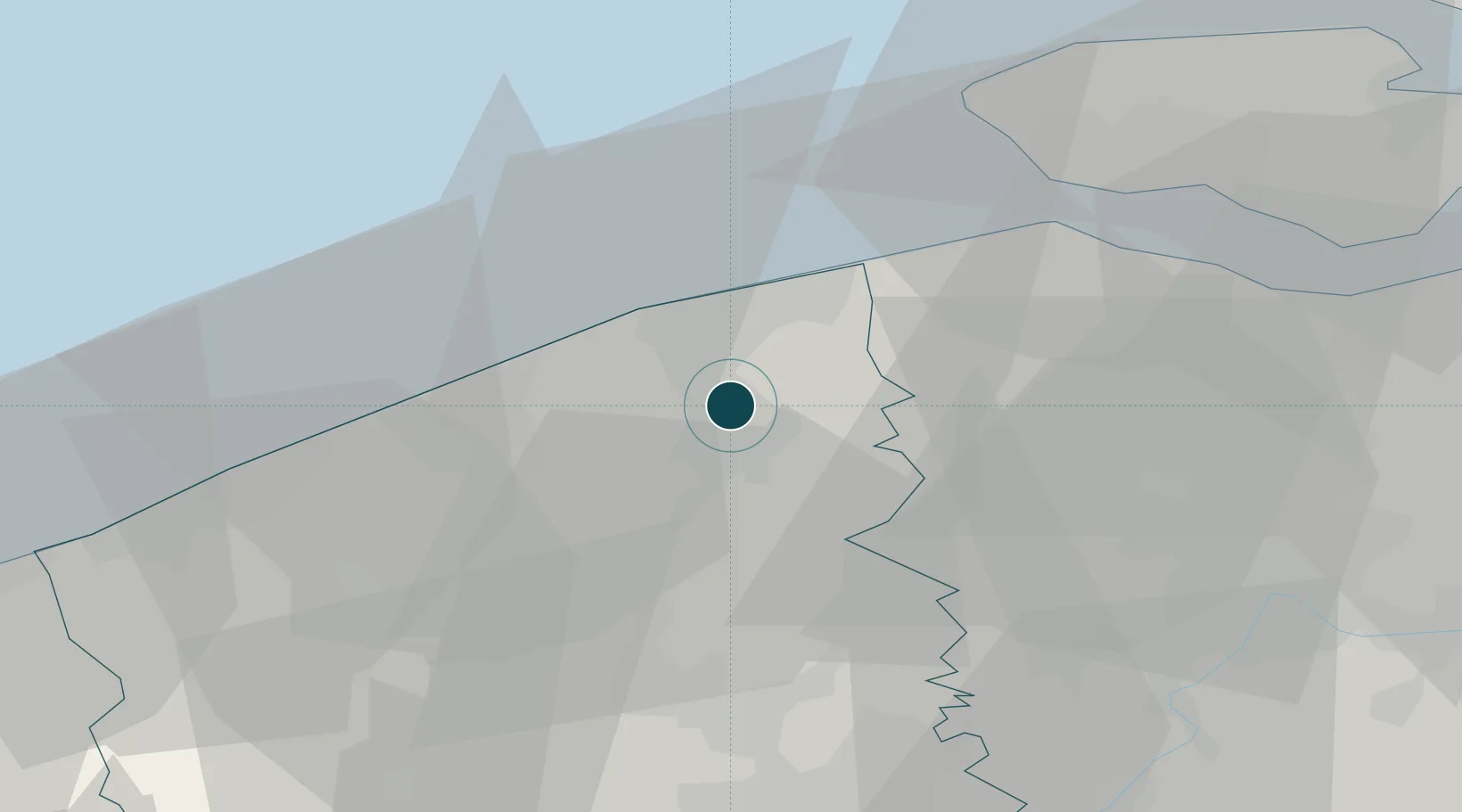
Location
Nearby Logistics Neighbours
Ports
- 1Zeebrugge11 km
- 2Oostende21 km
- 3Nieuwpoort34 km
- 4Vlissingen36 km
- 5Ghent41 km
Cities
- 1Scheepsdale2 km
- 2Steenbrugge6 km
- 3Sint-Andries6 km
- 4Oostkerke7 km
- 5Holford8 km
Airports
Trade Zones
- 1ZFU Tourcoing57 km
- 2ZFU Hem et Roubaix61 km
- 3ZFU Saint Pol sur Mer66 km
- 4ZFU de Lille et de Loos69 km
- 5ZFU Condé sur lEscaut89 km
DatabookThe Record of Consolidated Knowledge
Belgium beyond logistics?