Channel & Berth Profile
Pilotage, Tugs & Services
Pilotage compulsoryYES
Pilotage availableYES
Local assistanceYES
Tug assistanceNO
Salvage tugsNO
Potable waterYES
Diesel bunkersYES
MedicalYES
Facilities & Capabilities
Container—
Ro-Ro—
Liquid bulk—
Dry bulk—
Oil terminal—
Break bulk—
Dry dock—
RepairsNO
BunkeringYES
Rail linkYES
Dangerous cargo—
ISPS security—
Harbour Specifications
Harbour size
Very Small
Harbour type
Canal or Lake
Shelter
Good
Water body
North Sea; North Atlantic Ocean
Tidal range
5 m
Pilotage
Yes
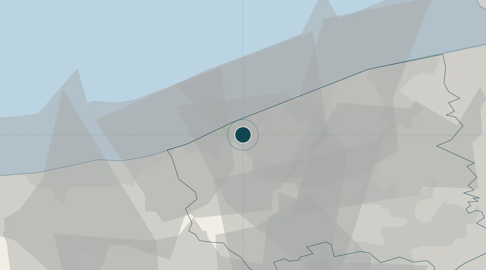
Location
Nearby Logistics Neighbours
Ports
- 1Oostende16 km
- 2Dunkerque Port Est29 km
- 3Bruges34 km
- 4Zeebrugge38 km
- 5Gravelines47 km
Cities
- 1Sint-Joris1 km
- 2Wulpen5 km
- 3Veurne9 km
- 4Leffinge10 km
- 5Kaaskerke13 km
Airports
Trade Zones
- 1ZFU Saint Pol sur Mer31 km
- 2ZFU Tourcoing54 km
- 3ZFU Hem et Roubaix57 km
- 4ZFU de Lille et de Loos59 km
- 5ZFU Calais67 km
DatabookThe Record of Consolidated Knowledge
Belgium beyond logistics?