Seaport · Netherlands
VlissingenNLVLI
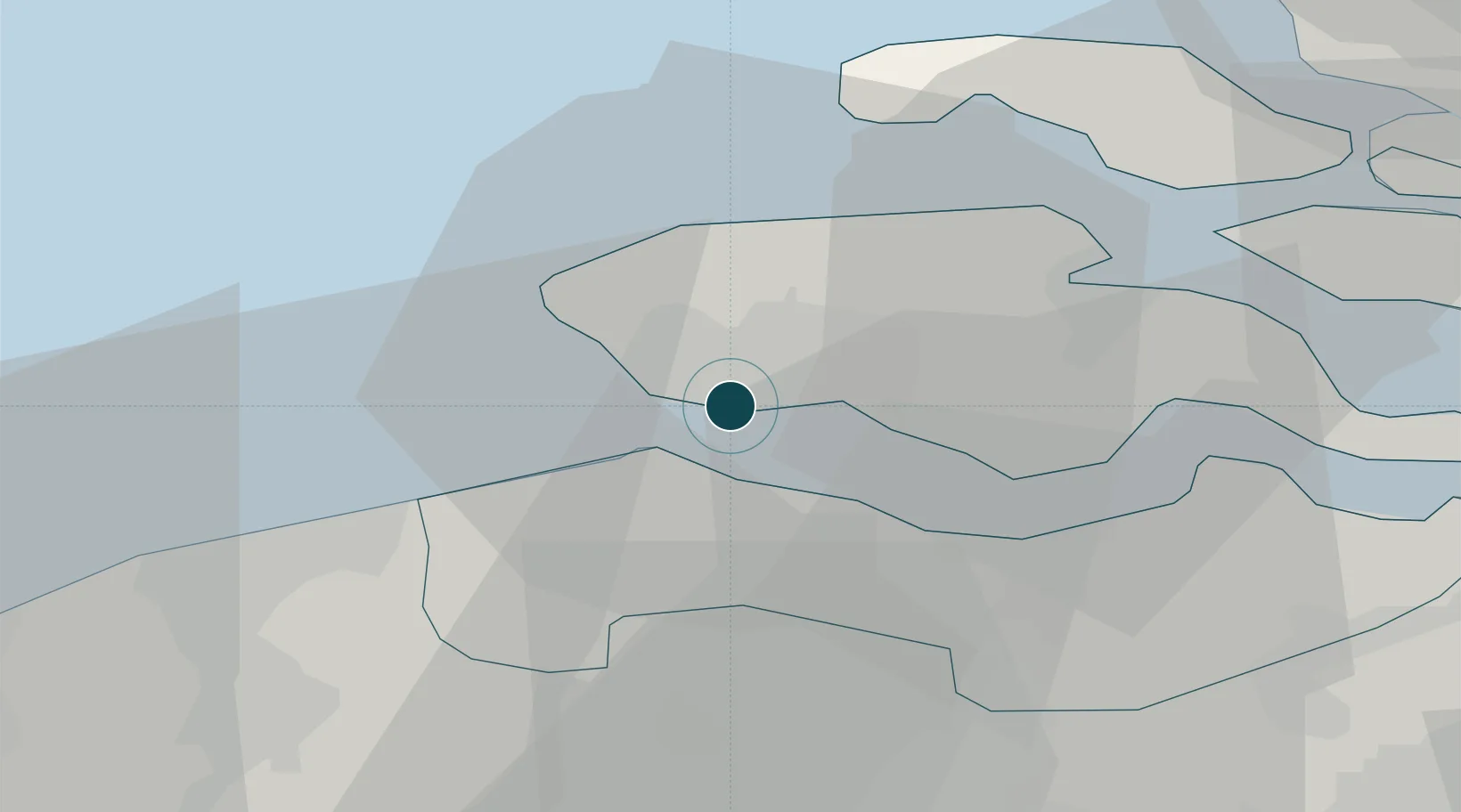
51.4500°, 3.6000°
12.5 m
Channel depth
2
Container terminals
77.6
Port liner connectivity
Channel & Berth Profile
Pilotage, Tugs & Services
Pilotage compulsoryYES
Pilotage availableYES
Pilotage advisableYES
Tug assistanceYES
Potable waterYES
Diesel bunkersYES
MedicalYES
Garbage disposalYES
Facilities & Capabilities
Container—
Ro-Ro—
Liquid bulk—
Dry bulk—
Oil terminal—
Break bulk—
Dry dockNO
RepairsNO
BunkeringYES
Rail linkYES
Dangerous cargo—
ISPS security—
Harbour Specifications
Harbour size
Medium
Harbour type
River (Natural)
Shelter
Good
Water body
North Sea; North Atlantic Ocean
Tidal range
4 m
Pilotage
Yes
Liner Connectivity
77.6
PLSCI
Port Liner Shipping Connectivity Index for Vlissingen, as published by UNCTAD for the latest available quarter. Higher values indicate stronger scheduled liner-shipping integration.
Shown relative to the highest per-port PLSCI in the dataset (1,657.9).
Location
Container Terminals · 2
KLOOSTERBOER VLISSINGEN B.V.
KBV
VERBRUGGE ZEELAND TERMINALS BV
VZT
Nearby Logistics Neighbours
Cities
- 1Nieuwdorp8 km
- 2Breskens8 km
- 3Valkenisse9 km
- 4Borssele9 km
- 5Hoofdplaat10 km
Airports
Trade Zones
- 1ZFU Tourcoing86 km
- 2ZFU Hem et Roubaix90 km
- 3ZFU Saint Pol sur Mer100 km
- 4ZFU de Lille et de Loos100 km
- 5ZFU Condé sur lEscaut109 km
DatabookThe Record of Consolidated Knowledge
Netherlands beyond logistics?