Transport Functions
Port
Road
Hub Profile
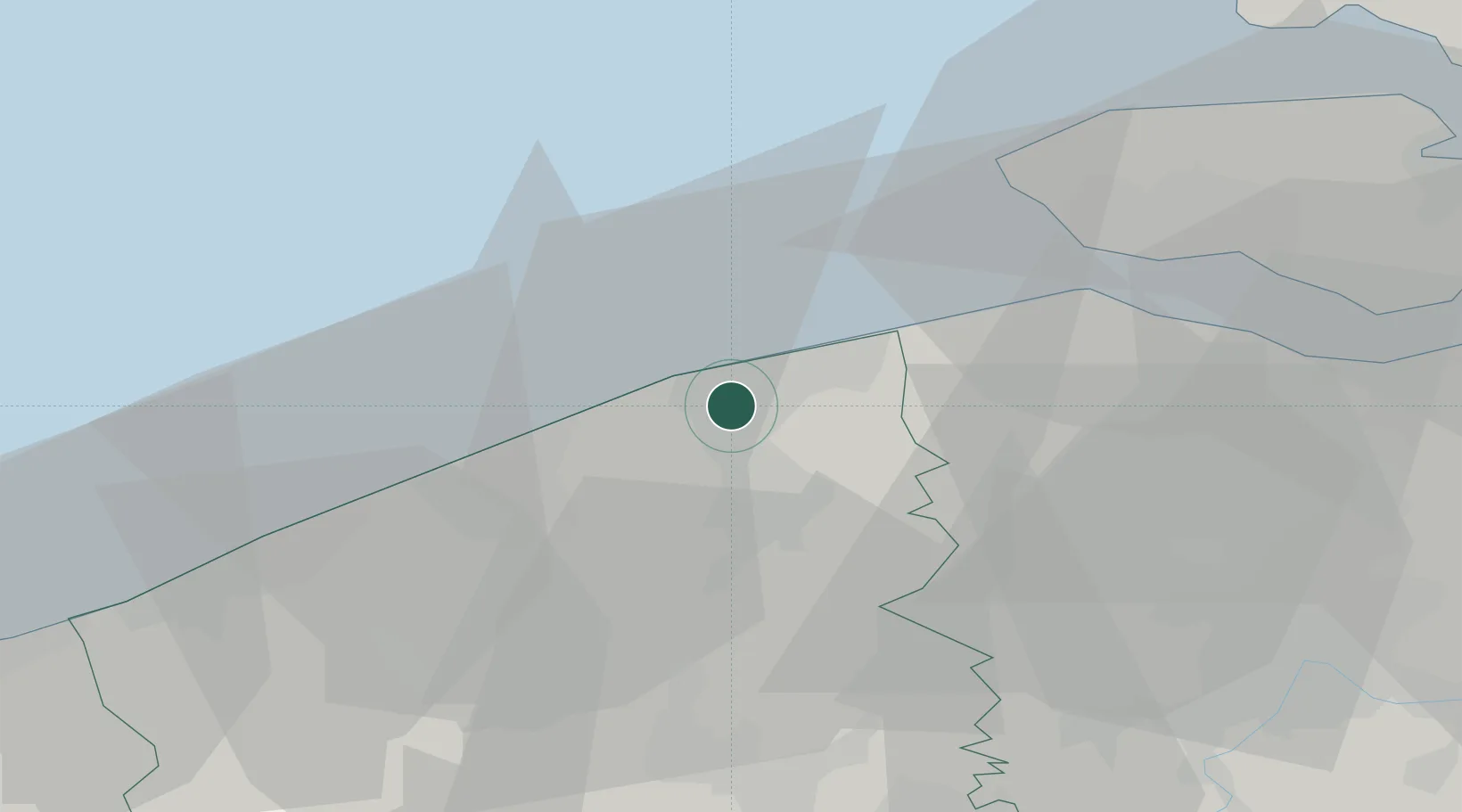
Place type
Populated place
Region
Flanders
Population
7,699
Time zone
Europe/Brussels
Elevation
4 m
Location
Nearby Logistics Neighbours
Cities
- 1Blankenberge4 km
- 2Zeebrugge5 km
- 3Oostkerke7 km
- 4Scheepsdale9 km
- 5Brugge (Bruges)10 km
Ports
- 1Zeebrugge4 km
- 2Bruges8 km
- 3Oostende20 km
- 4Vlissingen33 km
- 5Nieuwpoort35 km
Airports
Trade Zones
- 1ZFU Tourcoing64 km
- 2ZFU Saint Pol sur Mer66 km
- 3ZFU Hem et Roubaix68 km
- 4ZFU de Lille et de Loos75 km
- 5ZFU Condé sur lEscaut97 km
DatabookThe Record of Consolidated Knowledge
Belgium beyond logistics?