Transport Functions
Port
Rail
Road
Hub Profile
Region
VWV
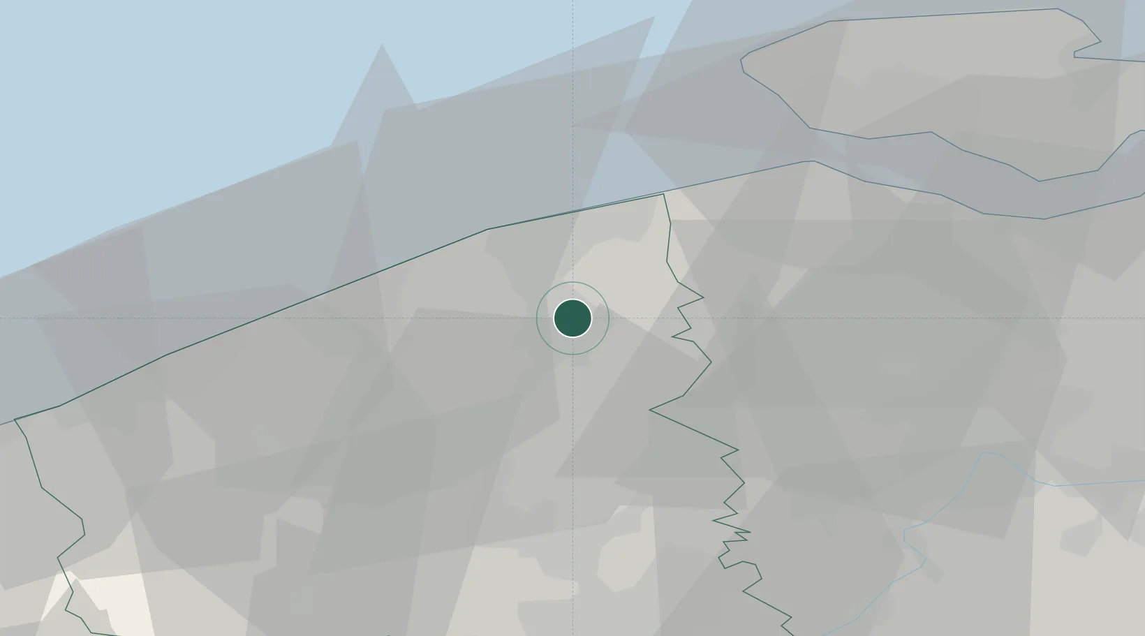
Location
Nearby Logistics Neighbours
Cities
- 1Scheepsdale2 km
- 2Steenbrugge4 km
- 3Sint-Andries5 km
- 4Holford6 km
- 5Moerbrugge6 km
Ports
- 1Zeebrugge13 km
- 2Oostende22 km
- 3Nieuwpoort35 km
- 4Vlissingen36 km
- 5Ghent39 km
Airports
Trade Zones
- 1ZFU Tourcoing55 km
- 2ZFU Hem et Roubaix59 km
- 3ZFU Saint Pol sur Mer66 km
- 4ZFU de Lille et de Loos67 km
- 5ZFU Condé sur lEscaut87 km
DatabookThe Record of Consolidated Knowledge
Belgium beyond logistics?