Large airport · France
Lille AirportLFQQ
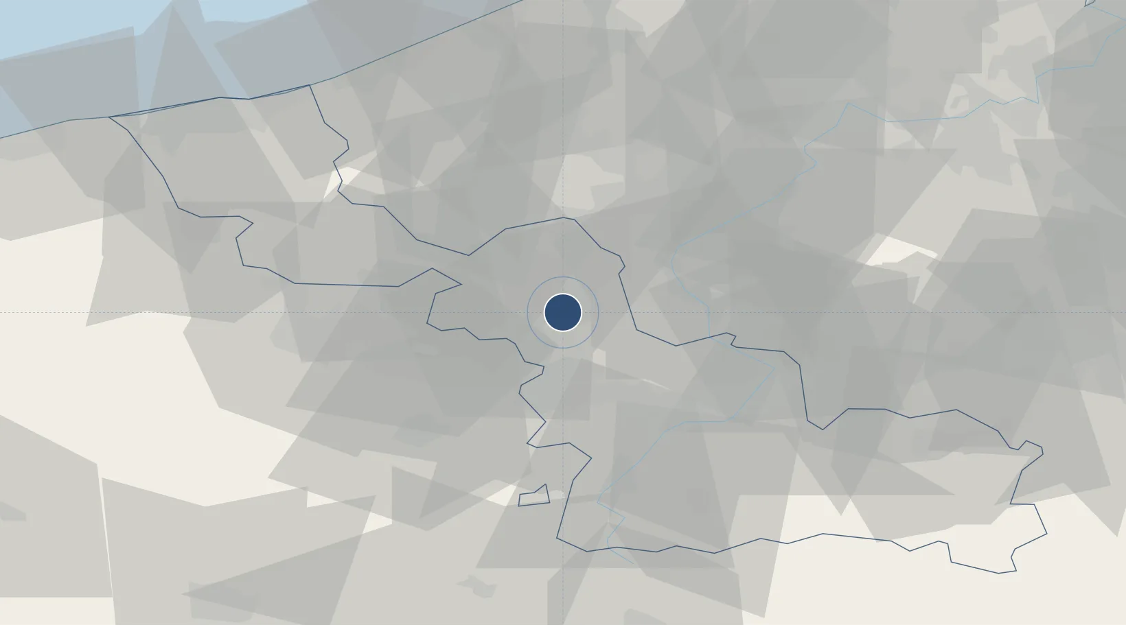
50.5666°, 3.1024°
9,268 ft
Longest runway
2
Runways
157 ft
Elevation
Runway & Layout

Radio Frequencies
ATIS
119.325 MHz
TWR
118.55 MHz
LILLE TWR
GND
121.85 MHz
LILLE GND
APP
120.275 MHz
LILLE APP
AFIS
134.825 MHz
LILLE INFO
Navaids
LEQ VOR-DME Lesquin 109.00 MHz
Runways · 2
| Runway | Dimensions | Surface | True heading | Lit |
|---|---|---|---|---|
| 08/26 | 9,268 × 148ft | Asphalt | 078° | ✓ |
| 01/19 | 5,184 × 98ft | Asphalt | 015° | ✓ |
Airport Specifications
IATA code
LIL
ICAO code
LFQQ
Airport class
Large airport
Scheduled service
Yes
Runway surface
Asphalt
Served city
Lesquin
Location
Nearby Logistics Neighbours
Airports
Cities
- 1Lesquin2 km
- 2Fretin3 km
- 3Ronchin4 km
- 4Wattignies4 km
- 5Sainghin-en-Mélantois5 km
Ports
- 1Nieuwpoort68 km
- 2Ghent71 km
- 3Bruges75 km
- 4Oostende75 km
- 5Dunkerque Port Est77 km
DatabookThe Record of Consolidated Knowledge
France beyond logistics?