Seaport · Angola

Soyo Angola Lng TerminalAOSZA
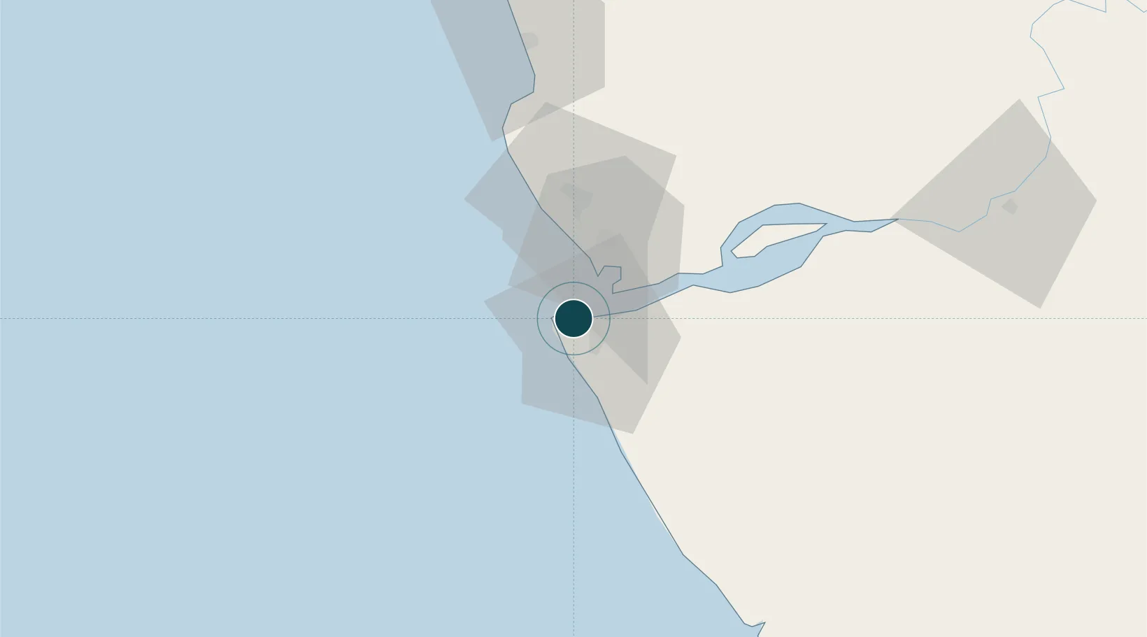
-6.1167°, 12.3333°
5.2 m
Channel depth
1
Container terminals
28.5
Port liner connectivity
Soyo Angola Lng Terminal is also a UN/LOCODE logistics hub →

Channel & Berth Profile

SEA LEVEL (CD)CHANNEL BEDChannel · 5.2 mCargo pier · 7.5 mAnchorage · 8.0 m
NGA World Port Index

Pilotage, Tugs & Services

Pilotage compulsoryYES
Pilotage availableYES
Tug assistanceYES
Potable waterYES
Diesel bunkersYES
NGA World Port Index

Facilities & Capabilities

Container
Ro-Ro
Liquid bulk
Dry bulk
Oil terminal
Break bulk
Dry dock
Repairs
Bunkering
Rail link
Dangerous cargo
ISPS security
NGA World Port Index

Harbour Specifications

Harbour size
Very Small
NGA World Port Index
Harbour type
River (Natural)
NGA World Port Index
Shelter
Fair
NGA World Port Index
Water body
South Atlantic Ocean
NGA World Port Index
Tidal range
1.5 m
NGA World Port Index
Pilotage
Yes
NGA World Port Index

Liner Connectivity

28.5
PLSCI

Port Liner Shipping Connectivity Index for Soyo Angola Lng Terminal, as published by UNCTAD for the latest available quarter. Higher values indicate stronger scheduled liner-shipping integration.

Shown relative to the highest per-port PLSCI in the dataset (1,657.9).

UNCTAD · Port Liner Shipping Connectivity Index

Location

Location of AOSZA
Natural Earth 10m (public domain) · Zaire · AOSZA · -6.12, 12.33GoogleOSMYandex

Container Terminals · 1

PORTO DO SOYO
SZA KWANDA LDA
SMDG Terminal Code List

Nearby Logistics Neighbours

Ports
  1. 1Banana16 km
  2. 2Cabinda67 km
  3. 3Futila Terminal76 km
  4. 4Malongo Oil Terminal81 km
  5. 5Boma85 km
Nearest neighbours — logibook spatial index (haversine) over the source coordinates
Cities
  1. 1Sazaire Terminal7 km
  2. 2Essungo Terminal30 km
  3. 3Cabinda64 km
  4. 4Futila Terminal76 km
  5. 5Boma85 km
Nearest neighbours — logibook spatial index (haversine) over the source coordinates
Airports
  1. 1Soyo Airport5 km
  2. 2Cabinda Airport60 km
  3. 3Antonio Agostinho-Neto International Airport153 km
  4. 4Mbanza Congo Airport212 km
  5. 5Ngot Nzoungou Airport216 km
Nearest neighbours — logibook spatial index (haversine) over the source coordinates
Trade Zones
  1. 1Fútila Industrial Development Pole78 km
  2. 2Pointe-Noire Special Economic Zone158 km
  3. 3Luanda-Bengo Special Economic Zone335 km
  4. 4Viana Industrial Development Pole341 km
  5. 5Brazzaville Special Economic Zone354 km
Nearest neighbours — logibook spatial index (haversine) over the source coordinates
DatabookThe Record of Consolidated Knowledge
Angola beyond logistics?
Browse databook

All Sources

Portsthe NGA World Port Index
Public domain (US gov)
Logistics performanceUNCTAD
CC BY 3.0 IGO
Portsthe SMDG Terminal Code List
UN/LOCODE — free, attribution
AirportsOurAirports
Public domain
LocationsUN/LOCODE
UN/LOCODE — free
Trade Zonesthe World Bank SEZ database
CC BY 4.0
Trade ZonesOpen Zone Map
CC BY
← Angola ports