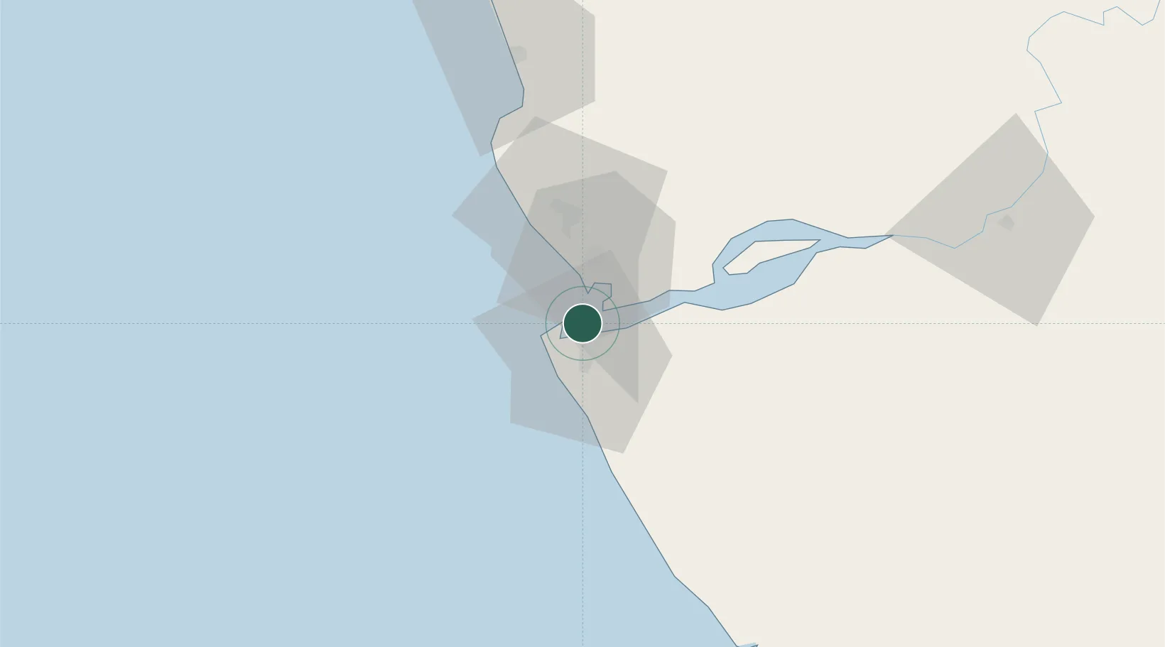
UN/LOCODE hub · Angola
AOSTL

Sazaire Terminal

-6.0833°, 12.3833°
1
Transport functions

Transport Functions

Port
UN/LOCODE

Location

Location of AOSTL
Natural Earth 10m (public domain) · Zaire · AOSTL · -6.08, 12.38GoogleOSMYandex

Nearby Logistics Neighbours

Cities
  1. 1Soyo8 km
  2. 2Essungo Terminal37 km
  3. 3Cabinda62 km
  4. 4Futila Terminal74 km
  5. 5Boma78 km
Nearest neighbours — logibook spatial index (haversine) over the source coordinates
Ports
  1. 1Soyo Angola Lng Terminal7 km
  2. 2Banana11 km
  3. 3Cabinda64 km
  4. 4Futila Terminal74 km
  5. 5Boma78 km
Nearest neighbours — logibook spatial index (haversine) over the source coordinates
Airports
  1. 1Soyo Airport7 km
  2. 2Cabinda Airport58 km
  3. 3Antonio Agostinho-Neto International Airport151 km
  4. 4Mbanza Congo Airport207 km
  5. 5Ngot Nzoungou Airport211 km
Nearest neighbours — logibook spatial index (haversine) over the source coordinates
Trade Zones
  1. 1Fútila Industrial Development Pole75 km
  2. 2Pointe-Noire Special Economic Zone156 km
  3. 3Luanda-Bengo Special Economic Zone337 km
  4. 4Viana Industrial Development Pole342 km
  5. 5Brazzaville Special Economic Zone348 km
Nearest neighbours — logibook spatial index (haversine) over the source coordinates
DatabookThe Record of Consolidated Knowledge
Angola beyond logistics?
Browse databook

All Sources

LocationsUN/LOCODE
UN/LOCODE — free
Portsthe NGA World Port Index
Public domain (US gov)
AirportsOurAirports
Public domain
Trade Zonesthe World Bank SEZ database
CC BY 4.0
Trade ZonesOpen Zone Map
CC BY
← Angola locations