UN/LOCODE hub · Angola
AOFLT

Futila Terminal

-5.4500°, 12.1833°
1
Transport functions

Transport Functions

Port
Futila Terminal is also a profiled seaport →
UN/LOCODE

Location

Location of AOFLT
Natural Earth 10m (public domain) · Cabinda · AOFLT · -5.45, 12.18GoogleOSMYandex

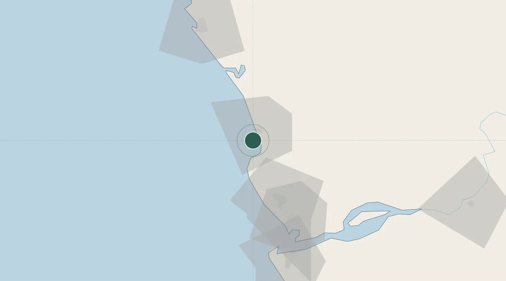
Nearby Logistics Neighbours

Cities
  1. 1Cabinda12 km
  2. 2Sazaire Terminal74 km
  3. 3Soyo77 km
  4. 4Kuito Terminal78 km
  5. 5Pointe Noire83 km
Nearest neighbours — logibook spatial index (haversine) over the source coordinates
Ports
  1. 1Cabinda9 km
  2. 2Malongo Oil Terminal11 km
  3. 3Takula Terminal51 km
  4. 4Banana63 km
  5. 5Djeno Terminal66 km
Nearest neighbours — logibook spatial index (haversine) over the source coordinates
Airports
  1. 1Cabinda Airport17 km
  2. 2Antonio Agostinho-Neto International Airport78 km
  3. 3Soyo Airport80 km
  4. 4Ngot Nzoungou Airport148 km
  5. 5Mbanza Congo Airport246 km
Nearest neighbours — logibook spatial index (haversine) over the source coordinates
Trade Zones
  1. 1Fútila Industrial Development Pole4 km
  2. 2Pointe-Noire Special Economic Zone83 km
  3. 3Brazzaville Special Economic Zone336 km
  4. 4Boumango Special Economic Zone393 km
  5. 5Maluku Special Economic Zone401 km
Nearest neighbours — logibook spatial index (haversine) over the source coordinates
DatabookThe Record of Consolidated Knowledge
Angola beyond logistics?
Browse databook

All Sources

LocationsUN/LOCODE
UN/LOCODE — free
Portsthe NGA World Port Index
Public domain (US gov)
AirportsOurAirports
Public domain
Trade Zonesthe World Bank SEZ database
CC BY 4.0
Trade ZonesOpen Zone Map
CC BY
← Angola locations