Medium airport · Congo - Brazzaville

Ngot Nzoungou AirportFCPL
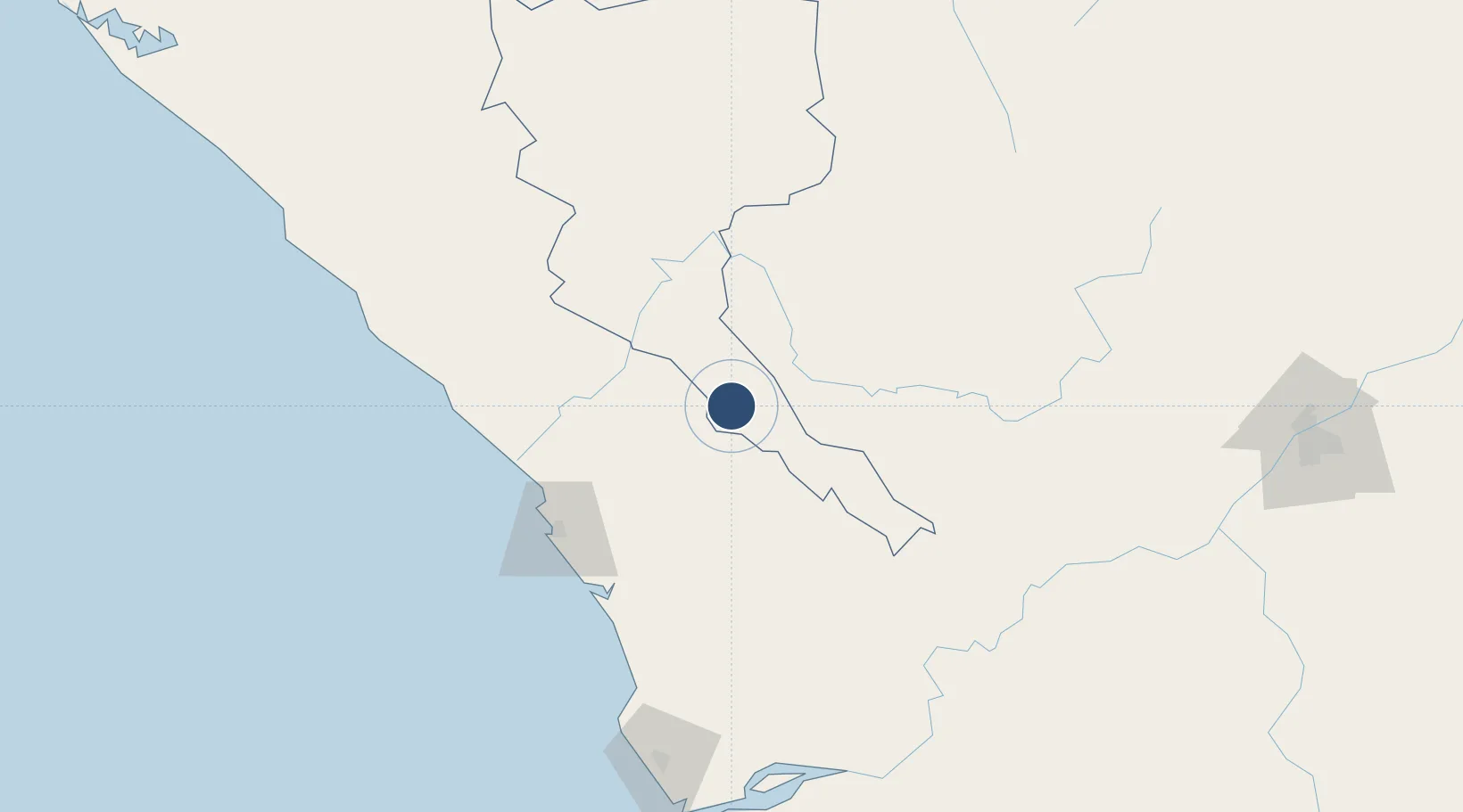
-4.2063°, 12.6599°
6,725 ft
Longest runway
1
Runways
1,079 ft
Elevation

Runway & Layout

Ngot Nzoungou Airport runway & taxiway layout
Runway & taxiway layout — OpenStreetMap (ODbL) / OurAirports

Runways · 1

RunwayDimensions SurfaceTrue headingLit
14/32 6,725 × 95ft Asphalt
OurAirports

Airport Specifications

IATA code
DIS
OurAirports
ICAO code
FCPD
OurAirports
Airport class
Medium airport
OurAirports
Scheduled service
No
OurAirports
Runway surface
Asphalt
OurAirports
Served city
Dolisie
OurAirports

Location

Location of FCPL
Natural Earth 10m (public domain) · Niari · FCPL · -4.21, 12.66GoogleOSMYandex

Nearby Logistics Neighbours

Airports
  1. 1Antonio Agostinho-Neto International Airport109 km
  2. 2Cabinda Airport163 km
  3. 3Soyo Airport218 km
  4. 4Maya-Maya International Airport288 km
  5. 5Mbanza Congo Airport289 km
Nearest neighbours — logibook spatial index (haversine) over the source coordinates
Cities
  1. 1Dolisie3 km
  2. 2Pointe Noire112 km
  3. 3Yombo142 km
  4. 4Futila Terminal148 km
  5. 5Cabinda158 km
Nearest neighbours — logibook spatial index (haversine) over the source coordinates
Ports
  1. 1Pointe Noire112 km
  2. 2Djeno Terminal117 km
  3. 3Futila Terminal148 km
  4. 4Takula Terminal149 km
  5. 5Malongo Oil Terminal151 km
Nearest neighbours — logibook spatial index (haversine) over the source coordinates
Trade Zones
  1. 1Pointe-Noire Special Economic Zone112 km
  2. 2Fútila Industrial Development Pole145 km
  3. 3Boumango Special Economic Zone245 km
  4. 4Brazzaville Special Economic Zone263 km
  5. 5Maluku Special Economic Zone319 km
Nearest neighbours — logibook spatial index (haversine) over the source coordinates
DatabookThe Record of Consolidated Knowledge
Congo - Brazzaville beyond logistics?
Browse databook

All Sources

AirportsOurAirports
Public domain
Portsthe NGA World Port Index
Public domain (US gov)
LocationsUN/LOCODE
UN/LOCODE — free
Trade Zonesthe World Bank SEZ database
CC BY 4.0
Trade ZonesOpen Zone Map
CC BY
InfrastructureOpenStreetMap
ODbL 1.0
← Congo - Brazzaville airports