Seaport · Angola

Malongo Oil TerminalAOMAL

-5.4333°, 12.0833°
8.6
Port liner connectivity

Channel & Berth Profile

SEA LEVEL (CD)CHANNEL BEDAnchorage · 23.2 mOil terminal · 30.6 m
NGA World Port Index

Pilotage, Tugs & Services

Pilotage compulsoryYES
Pilotage availableYES
Pilotage advisableYES
Local assistanceYES
Tug assistanceYES
Potable waterNO
Diesel bunkersNO
Garbage disposalNO
NGA World Port Index

Facilities & Capabilities

Container
Ro-Ro
Liquid bulk
Dry bulk
Oil terminal
Break bulk
Dry dock
Repairs
BunkeringNO
Rail link
Dangerous cargo
ISPS security
NGA World Port Index

Harbour Specifications

Harbour size
Small
NGA World Port Index
Harbour type
Open Roadstead
NGA World Port Index
Shelter
Poor
NGA World Port Index
Water body
South Atlantic Ocean
NGA World Port Index
Tidal range
1.5 m
NGA World Port Index
Pilotage
Yes
NGA World Port Index

Liner Connectivity

8.6
PLSCI

Port Liner Shipping Connectivity Index for Malongo Oil Terminal, as published by UNCTAD for the latest available quarter. Higher values indicate stronger scheduled liner-shipping integration.

Shown relative to the highest per-port PLSCI in the dataset (1,657.9).
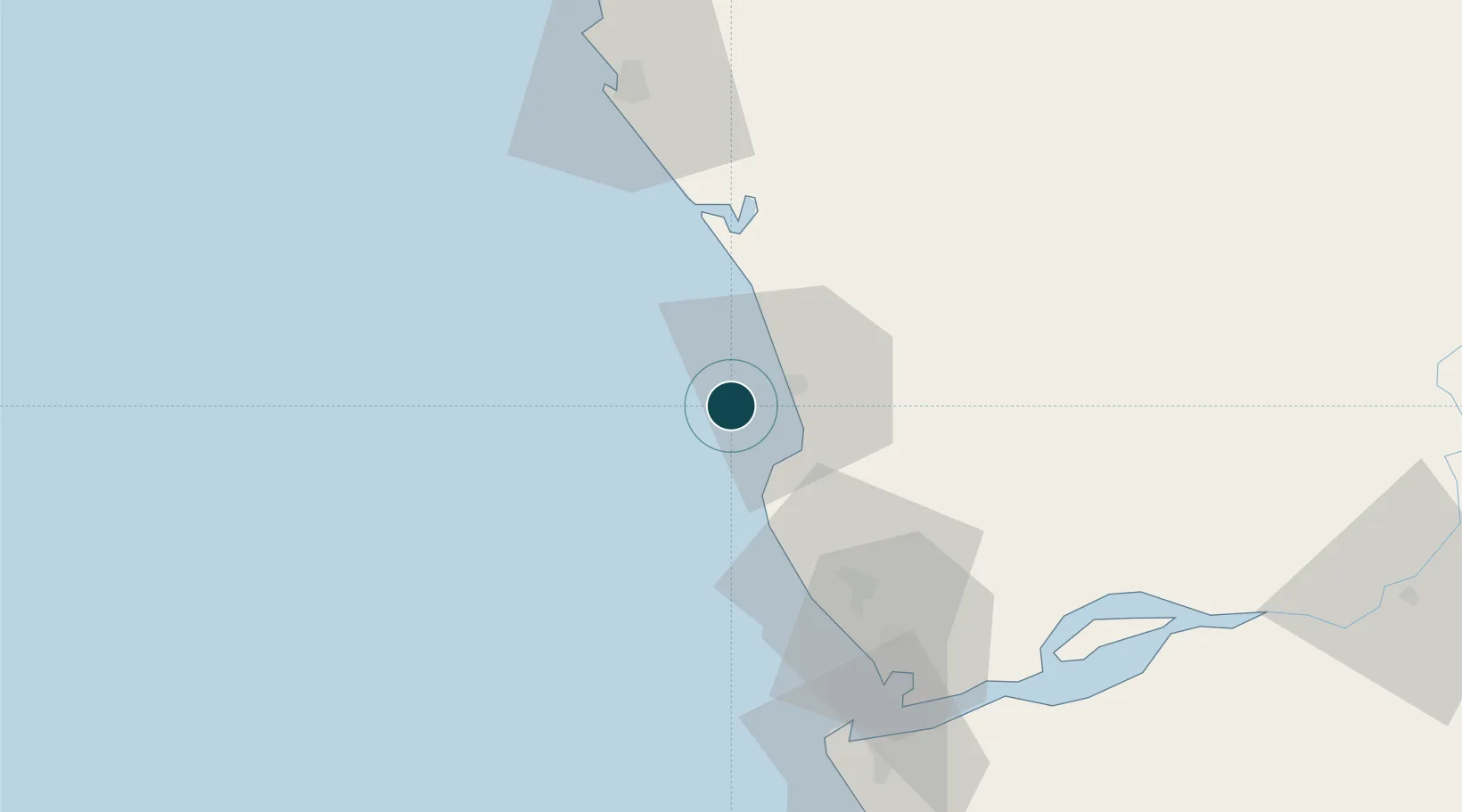
UNCTAD · Port Liner Shipping Connectivity Index

Location

Location of AOMAL
Natural Earth 10m (public domain) · Cabinda · AOMAL · -5.43, 12.08GoogleOSMYandex

Nearby Logistics Neighbours

Ports
  1. 1Futila Terminal11 km
  2. 2Cabinda17 km
  3. 3Takula Terminal41 km
  4. 4Djeno Terminal59 km
  5. 5N'kossa Terminal60 km
Nearest neighbours — logibook spatial index (haversine) over the source coordinates
Cities
  1. 1Futila Terminal11 km
  2. 2Cabinda19 km
  3. 3Kuito Terminal66 km
  4. 4Pointe Noire77 km
  5. 5Sazaire Terminal80 km
Nearest neighbours — logibook spatial index (haversine) over the source coordinates
Airports
  1. 1Cabinda Airport22 km
  2. 2Antonio Agostinho-Neto International Airport72 km
  3. 3Soyo Airport85 km
  4. 4Ngot Nzoungou Airport151 km
  5. 5Mbanza Congo Airport257 km
Nearest neighbours — logibook spatial index (haversine) over the source coordinates
Trade Zones
  1. 1Fútila Industrial Development Pole15 km
  2. 2Pointe-Noire Special Economic Zone77 km
  3. 3Brazzaville Special Economic Zone346 km
  4. 4Boumango Special Economic Zone396 km
  5. 5Maluku Special Economic Zone411 km
Nearest neighbours — logibook spatial index (haversine) over the source coordinates
DatabookThe Record of Consolidated Knowledge
Angola beyond logistics?
Browse databook

All Sources

Portsthe NGA World Port Index
Public domain (US gov)
Logistics performanceUNCTAD
CC BY 3.0 IGO
AirportsOurAirports
Public domain
LocationsUN/LOCODE
UN/LOCODE — free
Trade Zonesthe World Bank SEZ database
CC BY 4.0
Trade ZonesOpen Zone Map
CC BY
← Angola ports