Diversified Zone · Angola

Viana Industrial Development Pole Active
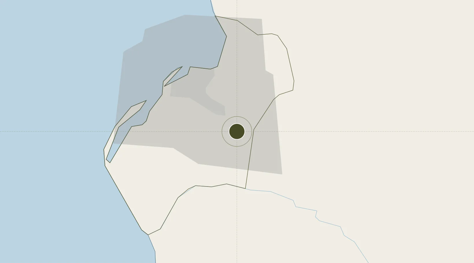
-8.9769°, 13.4461°
167 ha
Zone area
29.2 km
Nearest port
10.1 km
Nearest airport

Gateway access

Nearest neighbours — logibook spatial index (haversine) over the source coordinates

Zone profile

Zone type
Diversified Zone
Open Zone Map
Region
Luanda
Open Zone Map
Status
Active
Open Zone Map
Management
Public
Open Zone Map
Operator
National Council of Industrial Development Poles
Open Zone Map
Legal framework
Decree-Law No. 18/99 of 12 November 1999
Open Zone Map

Location

Location of ozm-31
Natural Earth 10m (public domain) · Luanda · ozm-31 · -8.98, 13.45GoogleOSMYandex

Nearby Logistics Neighbours

Ports
  1. 1Luanda29 km
  2. 2Porto Do Ambriz133 km
  3. 3Greater Plutonio Terminal195 km
  4. 4Porto Amboim198 km
  5. 5Dalia Terminal234 km
Nearest neighbours — logibook spatial index (haversine) over the source coordinates
Airports
  1. 1Dr. Antonio Agostinho Neto International Airport10 km
  2. 2Quatro de Fevereiro International Airport27 km
  3. 3Porto Amboim Airport197 km
  4. 4Uige Airport232 km
  5. 5Negage Airport244 km
Nearest neighbours — logibook spatial index (haversine) over the source coordinates
Cities
  1. 1Luanda22 km
  2. 2Capulo115 km
  3. 3Greater Plutonio194 km
  4. 4N'Zeto (Ambrizete)201 km
  5. 5Gimboa214 km
Nearest neighbours — logibook spatial index (haversine) over the source coordinates
Trade Zones
  1. 1Luanda-Bengo Special Economic Zone7 km
  2. 2Catumbela Industrial Development Pole381 km
  3. 3Fútila Industrial Development Pole417 km
  4. 4Pointe-Noire Special Economic Zone499 km
  5. 5Brazzaville Special Economic Zone539 km
Nearest neighbours — logibook spatial index (haversine) over the source coordinates
DatabookThe Record of Consolidated Knowledge
Angola beyond logistics?
Browse databook

All Sources

Trade ZonesOpen Zone Map
CC BY
Portsthe NGA World Port Index
Public domain (US gov)
AirportsOurAirports
Public domain
LocationsUN/LOCODE
UN/LOCODE — free
← Angola trade zones