Seaport · Angola
CabindaAOCAB
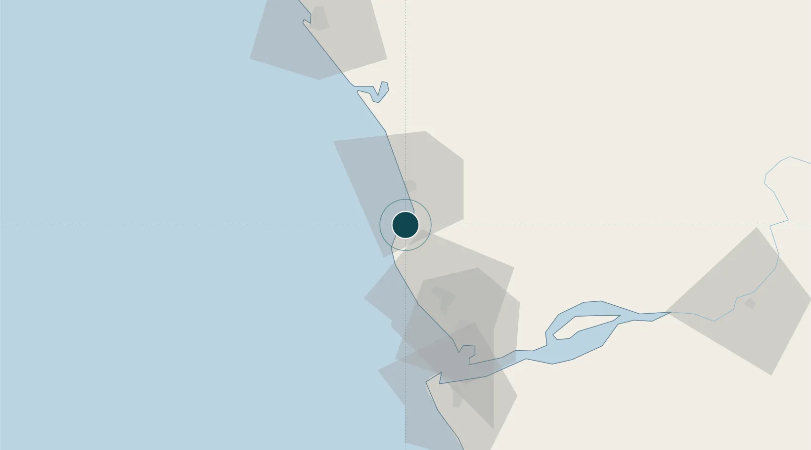
-5.5333°, 12.2000°
1.8 m
Channel depth
1
Container terminals
8.9
Port liner connectivity
Channel & Berth Profile
Pilotage, Tugs & Services
Pilotage compulsoryYES
Pilotage availableYES
Pilotage advisableYES
Tug assistanceNO
Salvage tugsNO
Shore powerNO
Potable waterYES
Diesel bunkersNO
MedicalYES
Garbage disposalNO
Facilities & Capabilities
Container—
Ro-Ro—
Liquid bulk—
Dry bulk—
Oil terminal—
Break bulk—
Dry dock—
RepairsNO
BunkeringYES
Rail link—
Dangerous cargo—
ISPS security—
Harbour Specifications
Harbour size
Small
Harbour type
Open Roadstead
Shelter
Good
Water body
South Atlantic Ocean
Tidal range
1.4 m
Overhead limit
Yes
Pilotage
Yes
Liner Connectivity
8.9
PLSCI
Port Liner Shipping Connectivity Index for Cabinda, as published by UNCTAD for the latest available quarter. Higher values indicate stronger scheduled liner-shipping integration.
Shown relative to the highest per-port PLSCI in the dataset (1,657.9).
Location
Container Terminals · 1
CABINDA TERMINAL
CABT EMPRESA PORTUARIA DE CABINDA
Nearby Logistics Neighbours
Ports
- 1Futila Terminal9 km
- 2Malongo Oil Terminal17 km
- 3Banana54 km
- 4Takula Terminal58 km
- 5Soyo Angola Lng Terminal67 km
Cities
- 1Futila Terminal9 km
- 2Sazaire Terminal64 km
- 3Soyo67 km
- 4Kuito Terminal80 km
- 5Essungo Terminal89 km
Airports
- 1Cabinda Airport7 km
- 2Soyo Airport70 km
- 3Antonio Agostinho-Neto International Airport87 km
- 4Ngot Nzoungou Airport156 km
- 5Mbanza Congo Airport241 km
Trade Zones
DatabookThe Record of Consolidated Knowledge
Angola beyond logistics?