Medium airport · Angola

Mbanza Congo AirportFNBC
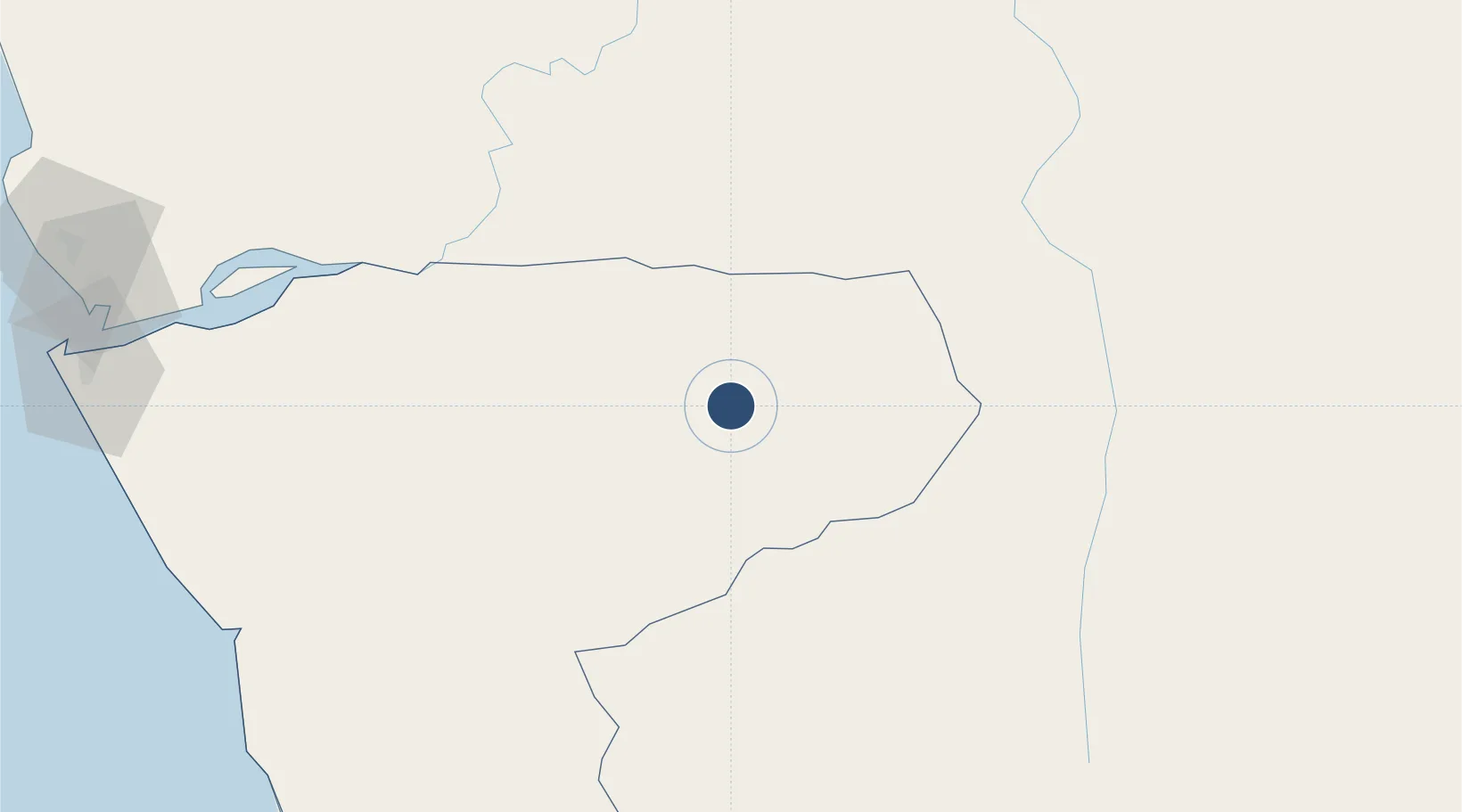
-6.2699°, 14.2470°
5,905 ft
Longest runway
1
Runways
1,860 ft
Elevation

Runway & Layout

Mbanza Congo Airport runway & taxiway layout
Runway & taxiway layout — OpenStreetMap (ODbL) / OurAirports

Radio Frequencies

AFIS
118.8 MHz
OurAirports

Navaids

BC NDB Mbanza Congo 205 kHz
OurAirports

Runways · 1

RunwayDimensions SurfaceTrue headingLit
16/34 5,905 × 98ft Asphalt 155°
OurAirports

Airport Specifications

IATA code
SSY
OurAirports
ICAO code
FNBC
OurAirports
Airport class
Medium airport
OurAirports
Scheduled service
Yes
OurAirports
Runway surface
Asphalt
OurAirports
Served city
Mbanza Congo
OurAirports

Location

Location of FNBC
Natural Earth 10m (public domain) · Zaire · FNBC · -6.27, 14.25GoogleOSMYandex

Nearby Logistics Neighbours

Airports
  1. 1Uige Airport172 km
  2. 2Negage Airport201 km
  3. 3Soyo Airport208 km
  4. 4Cabinda Airport240 km
  5. 5Ndolo Airport247 km
Nearest neighbours — logibook spatial index (haversine) over the source coordinates
Cities
  1. 1Matadi101 km
  2. 2Nóqui101 km
  3. 3Santa Clara133 km
  4. 4Boma140 km
  5. 5N'Zeto (Ambrizete)190 km
Nearest neighbours — logibook spatial index (haversine) over the source coordinates
Ports
  1. 1Matadi102 km
  2. 2Boma140 km
  3. 3Banana209 km
  4. 4Soyo Angola Lng Terminal212 km
  5. 5Porto Do Ambriz215 km
Nearest neighbours — logibook spatial index (haversine) over the source coordinates
Trade Zones
  1. 1Brazzaville Special Economic Zone226 km
  2. 2Fútila Industrial Development Pole244 km
  3. 3Maluku Special Economic Zone281 km
  4. 4Luanda-Bengo Special Economic Zone311 km
  5. 5Pointe-Noire Special Economic Zone314 km
Nearest neighbours — logibook spatial index (haversine) over the source coordinates
DatabookThe Record of Consolidated Knowledge
Angola beyond logistics?
Browse databook

All Sources

AirportsOurAirports
Public domain
Portsthe NGA World Port Index
Public domain (US gov)
LocationsUN/LOCODE
UN/LOCODE — free
Trade Zonesthe World Bank SEZ database
CC BY 4.0
Trade ZonesOpen Zone Map
CC BY
InfrastructureOpenStreetMap
ODbL 1.0
← Angola airports