UN/LOCODE hub · Angola
AOSZA
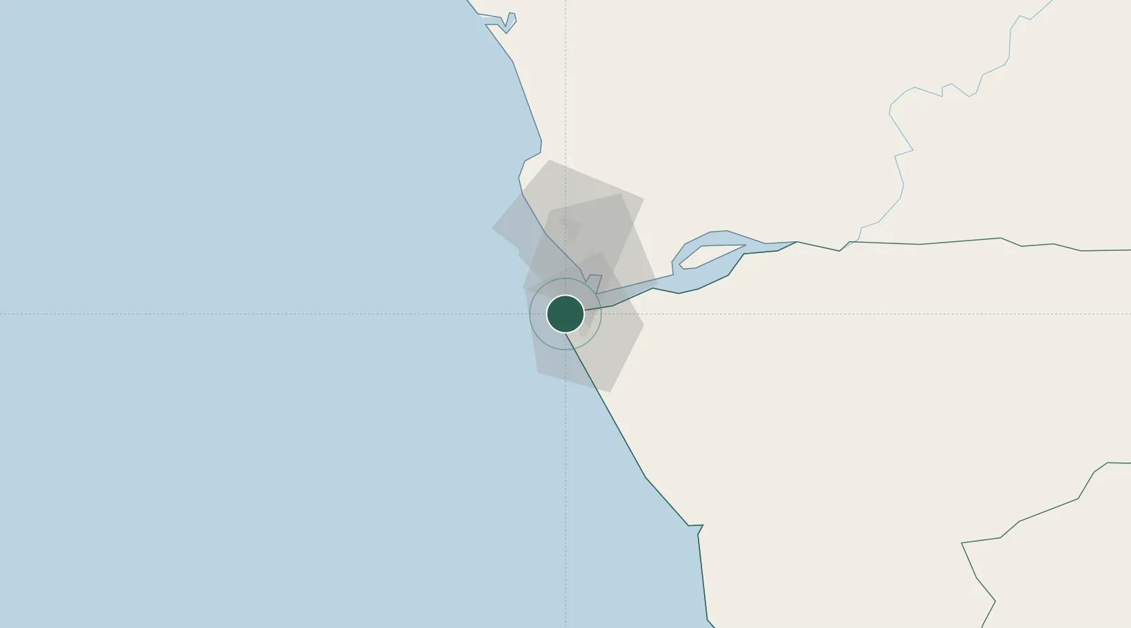
Soyo
-6.1256°, 12.3214°
200,920
Population
2
Transport functions
1
Container terminals
Transport Functions
Port
Airport
Hub Profile
Place type
Populated place
Region
Zaire
Population
200,920
Time zone
Africa/Luanda
Elevation
10 m
Logistics facilities
1
Container terminals
1
Location
Nearby Logistics Neighbours
Cities
- 1Sazaire Terminal8 km
- 2Essungo Terminal29 km
- 3Cabinda65 km
- 4Futila Terminal77 km
- 5Boma86 km
Ports
- 1Banana17 km
- 2Cabinda67 km
- 3Futila Terminal77 km
- 4Malongo Oil Terminal81 km
- 5Boma86 km
Airports
- 1Soyo Airport6 km
- 2Cabinda Airport60 km
- 3Antonio Agostinho-Neto International Airport153 km
- 4Mbanza Congo Airport214 km
- 5Ngot Nzoungou Airport217 km
Trade Zones
DatabookThe Record of Consolidated Knowledge
Angola beyond logistics?