UN/LOCODE hub · Angola
AOCAB
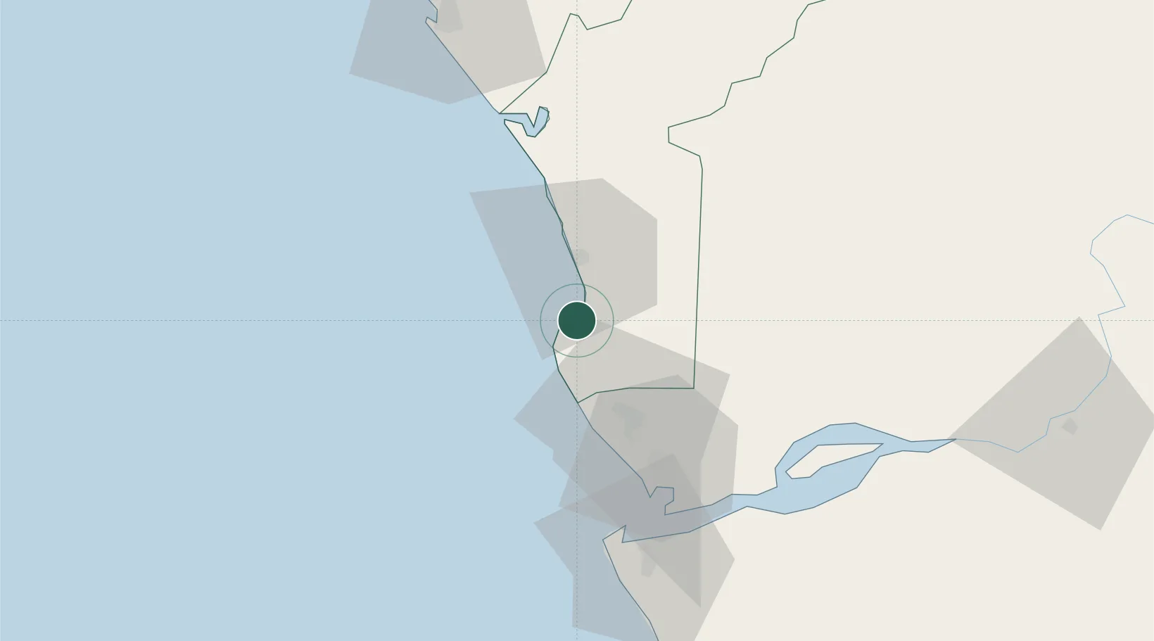
Cabinda
-5.5517°, 12.2089°
550,000
Population
2
Transport functions
1
Container terminals
Transport Functions
Port
Airport
Hub Profile
Place type
Regional capital
Region
Cabinda
Population
550,000
Time zone
Africa/Luanda
Elevation
1 m
Logistics facilities
2
Container terminals
1
Location
Nearby Logistics Neighbours
Cities
- 1Futila Terminal12 km
- 2Sazaire Terminal62 km
- 3Soyo65 km
- 4Kuito Terminal81 km
- 5Essungo Terminal87 km
Ports
- 1Futila Terminal12 km
- 2Malongo Oil Terminal19 km
- 3Banana52 km
- 4Takula Terminal60 km
- 5Soyo Angola Lng Terminal64 km
Airports
- 1Cabinda Airport6 km
- 2Soyo Airport68 km
- 3Antonio Agostinho-Neto International Airport89 km
- 4Ngot Nzoungou Airport158 km
- 5Mbanza Congo Airport239 km
Trade Zones
DatabookThe Record of Consolidated Knowledge
Angola beyond logistics?