Medium airport · Angola
Cabinda AirportFNCA
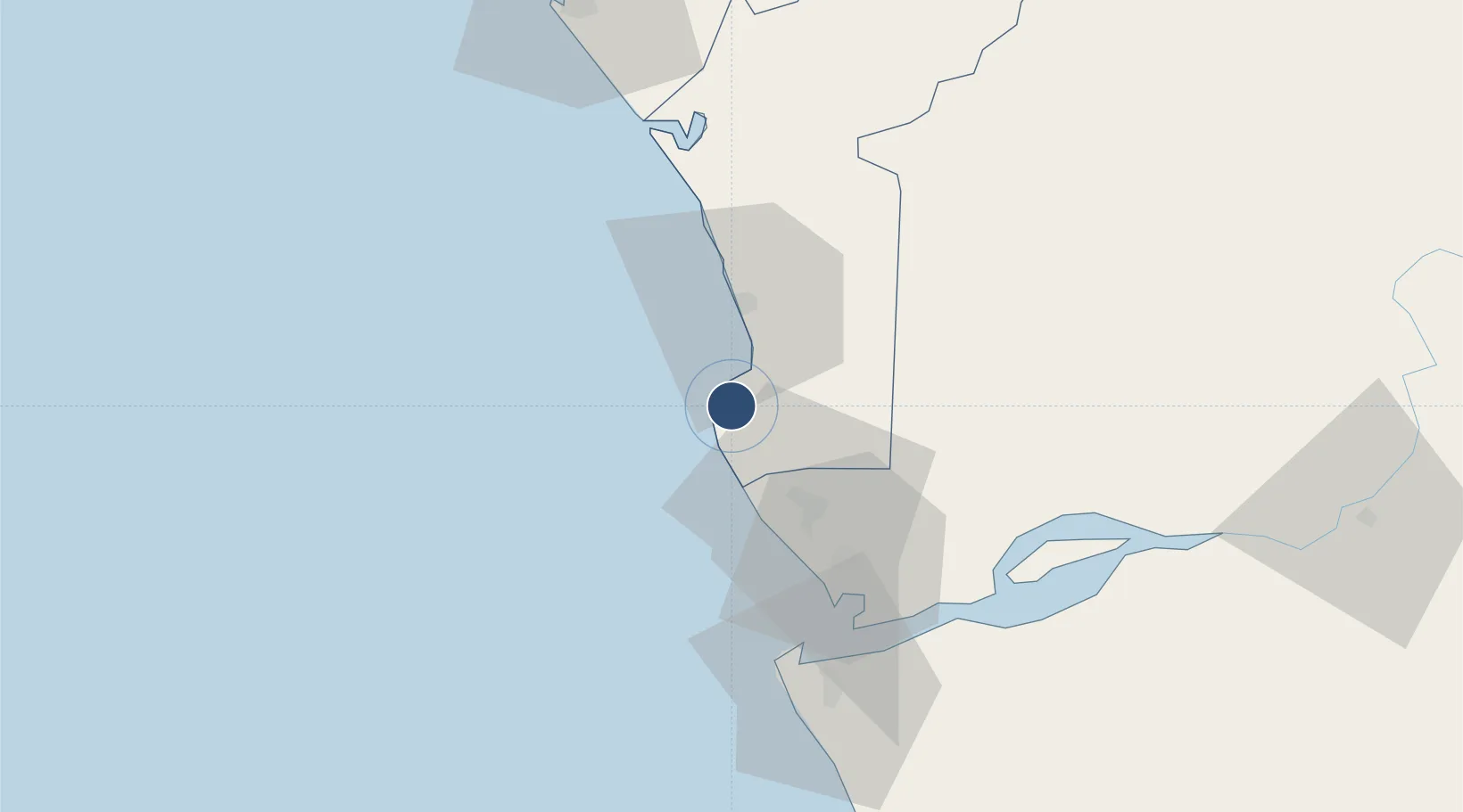
-5.5984°, 12.1881°
8,202 ft
Longest runway
1
Runways
66 ft
Elevation
Runway & Layout

Radio Frequencies
AFIS
118.3 MHz
Navaids
CA NDB Cabinda 280 kHz
VCA VOR-DME Cabinda 114.30 MHz
Runways · 1
| Runway | Dimensions | Surface | True heading | Lit |
|---|---|---|---|---|
| 36/18 | 8,202 × 98ft | Asphalt | 360° | ✓ |
Airport Specifications
IATA code
CAB
ICAO code
FNCA
Airport class
Medium airport
Scheduled service
Yes
Runway surface
Asphalt
Served city
Cabinda
Location
Nearby Logistics Neighbours
Airports
- 1Soyo Airport64 km
- 2Antonio Agostinho-Neto International Airport93 km
- 3Ngot Nzoungou Airport163 km
- 4Mbanza Congo Airport240 km
- 5Maya-Maya International Airport371 km
Cities
- 1Cabinda6 km
- 2Futila Terminal17 km
- 3Sazaire Terminal58 km
- 4Soyo60 km
- 5Kuito Terminal80 km
Ports
- 1Cabinda7 km
- 2Futila Terminal17 km
- 3Malongo Oil Terminal22 km
- 4Banana48 km
- 5Soyo Angola Lng Terminal60 km
Trade Zones
DatabookThe Record of Consolidated Knowledge
Angola beyond logistics?