Large airport · Congo - Brazzaville
Antonio Agostinho-Neto International AirportFCPP
-4.8160°, 11.8866°
8,530 ft
Longest runway
1
Runways
55 ft
Elevation
Runway & Layout

Radio Frequencies
TWR
124.3 MHz
APP
118.3 MHz
A/G
549.3 MHz
Navaids
IT VOR Pointe Noire 114.10 MHz
Runways · 1
| Runway | Dimensions | Surface | True heading | Lit |
|---|---|---|---|---|
| 17/35 | 8,530 × 148ft | Asphalt | 166° | ✓ |
Airport Specifications
IATA code
PNR
ICAO code
FCPP
Airport class
Large airport
Scheduled service
Yes
Runway surface
Asphalt
Served city
Pointe Noire
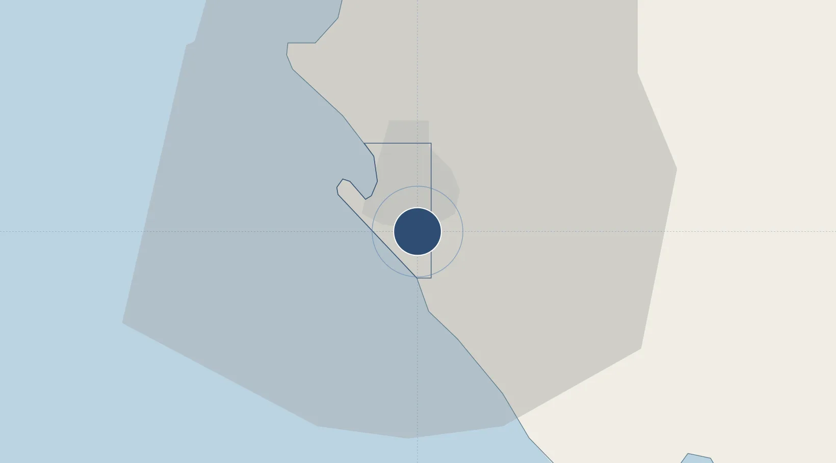
Location
Nearby Logistics Neighbours
Airports
- 1Cabinda Airport93 km
- 2Ngot Nzoungou Airport109 km
- 3Soyo Airport157 km
- 4Gamba Airport304 km
- 5Mbanza Congo Airport307 km
Cities
- 1Pointe Noire7 km
- 2Futila Terminal78 km
- 3Kuito Terminal82 km
- 4Cabinda89 km
- 5Dolisie112 km
Ports
- 1Pointe Noire7 km
- 2Djeno Terminal13 km
- 3Takula Terminal46 km
- 4N'kossa Terminal61 km
- 5Malongo Oil Terminal72 km
Trade Zones
DatabookThe Record of Consolidated Knowledge
Congo - Brazzaville beyond logistics?