Channel & Berth Profile
Pilotage, Tugs & Services
Pilotage compulsoryYES
Pilotage availableYES
Potable waterNO
Diesel bunkersNO
MedicalYES
Facilities & Capabilities
Container—
Ro-Ro—
Liquid bulk—
Dry bulk—
Oil terminal—
Break bulk—
Dry dock—
Repairs—
BunkeringNO
Rail link—
Dangerous cargo—
ISPS security—
Harbour Specifications
Harbour size
Very Small
Harbour type
Open Roadstead
Shelter
Poor
Water body
South Atlantic Ocean
Pilotage
Yes
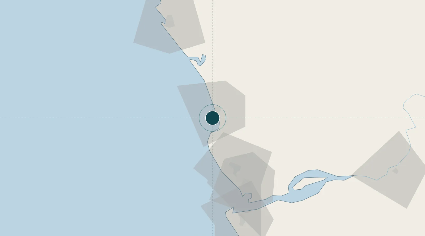
Location
Nearby Logistics Neighbours
Ports
- 1Cabinda9 km
- 2Malongo Oil Terminal11 km
- 3Takula Terminal51 km
- 4Banana63 km
- 5Djeno Terminal66 km
Cities
- 1Cabinda12 km
- 2Sazaire Terminal74 km
- 3Soyo77 km
- 4Kuito Terminal78 km
- 5Pointe Noire83 km
Airports
- 1Cabinda Airport17 km
- 2Antonio Agostinho-Neto International Airport78 km
- 3Soyo Airport80 km
- 4Ngot Nzoungou Airport148 km
- 5Mbanza Congo Airport246 km
Trade Zones
DatabookThe Record of Consolidated Knowledge
Angola beyond logistics?