Diversified Zone · Congo - Brazzaville

Brazzaville Special Economic Zone Active
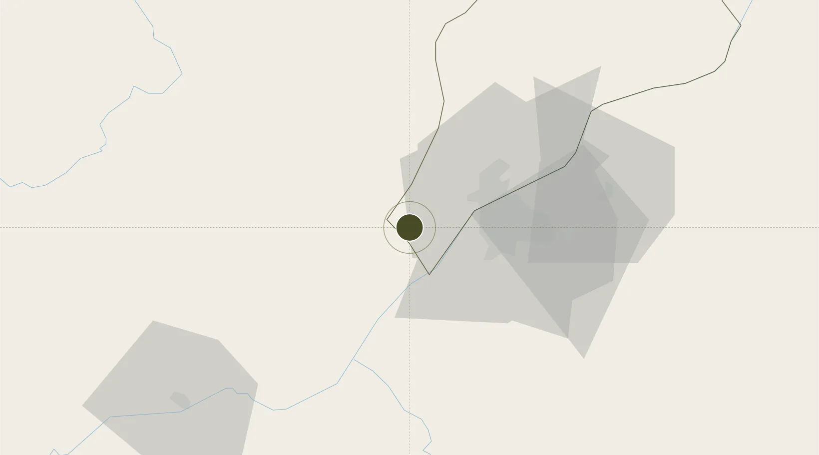
-4.3865°, 15.0203°
164 ha
Zone area
235.7 km
Nearest port
29.8 km
Nearest airport

Gateway access

Nearest neighbours — logibook spatial index (haversine) over the source coordinates

Zone profile

Zone type
Diversified Zone
Open Zone Map
Region
Brazzaville
Open Zone Map
Status
Active
Open Zone Map
Management
Public
Open Zone Map
Operator
Ministry of Special Economic Zones
Open Zone Map
Legal framework
Law No. 24-2017 of 9 June 2017
Open Zone Map

Location

Location of ozm-1681
Natural Earth 10m (public domain) · Brazzaville · ozm-1681 · -4.39, 15.02GoogleOSMYandex

Nearby Logistics Neighbours

Ports
  1. 1Matadi236 km
  2. 2Boma272 km
  3. 3Futila Terminal336 km
  4. 4Cabinda337 km
  5. 5Banana342 km
Nearest neighbours — logibook spatial index (haversine) over the source coordinates
Airports
  1. 1Maya-Maya International Airport30 km
  2. 2Ndolo Airport35 km
  3. 3Ndjili International Airport47 km
  4. 4Mbanza Congo Airport226 km
  5. 5Ngot Nzoungou Airport263 km
Nearest neighbours — logibook spatial index (haversine) over the source coordinates
Cities
  1. 1Kinshasa35 km
  2. 2Matadi237 km
  3. 3Nóqui240 km
  4. 4Dolisie262 km
  5. 5Boma273 km
Nearest neighbours — logibook spatial index (haversine) over the source coordinates
Trade Zones
  1. 1Maluku Special Economic Zone66 km
  2. 2Boumango Special Economic Zone287 km
  3. 3Fútila Industrial Development Pole332 km
  4. 4Pointe-Noire Special Economic Zone356 km
  5. 5Oyo-Ollombo Special Economic Zone368 km
Nearest neighbours — logibook spatial index (haversine) over the source coordinates
DatabookThe Record of Consolidated Knowledge
Congo - Brazzaville beyond logistics?
Browse databook

All Sources

Trade ZonesOpen Zone Map
CC BY
Portsthe NGA World Port Index
Public domain (US gov)
AirportsOurAirports
Public domain
LocationsUN/LOCODE
UN/LOCODE — free
← Congo - Brazzaville trade zones