Diversified Zone · Congo - Brazzaville

Pointe-Noire Special Economic Zone Active
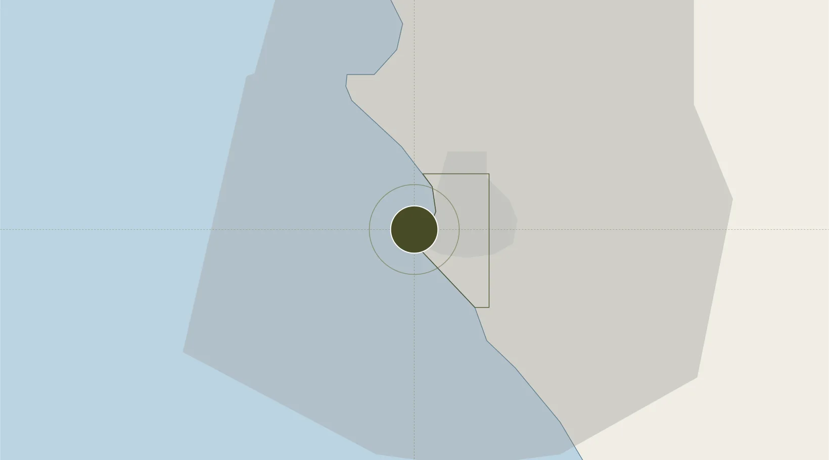
-4.7891°, 11.8348°
3,544 ha
Zone area
0.7 km
Nearest port
6.5 km
Nearest airport

Gateway access

Nearest neighbours — logibook spatial index (haversine) over the source coordinates

Zone profile

Zone type
Diversified Zone
Open Zone Map
Region
Pointe Noire
Open Zone Map
Status
Active
Open Zone Map
Management
Public
Open Zone Map
Operator
Ministry of Special Economic Zones
Open Zone Map
Legal framework
Law No. 19-2018 of 5 June 2018
Open Zone Map

Location

Location of ozm-1683
Natural Earth 10m (public domain) · Pointe Noire · ozm-1683 · -4.79, 11.83GoogleOSMYandex

Nearby Logistics Neighbours

Ports
  1. 1Pointe Noire1 km
  2. 2Djeno Terminal18 km
  3. 3Takula Terminal48 km
  4. 4N'kossa Terminal61 km
  5. 5Malongo Oil Terminal77 km
Nearest neighbours — logibook spatial index (haversine) over the source coordinates
Airports
  1. 1Antonio Agostinho-Neto International Airport7 km
  2. 2Cabinda Airport98 km
  3. 3Ngot Nzoungou Airport112 km
  4. 4Soyo Airport162 km
  5. 5Gamba Airport298 km
Nearest neighbours — logibook spatial index (haversine) over the source coordinates
Cities
  1. 1Pointe Noire0 km
  2. 2Kuito Terminal82 km
  3. 3Futila Terminal83 km
  4. 4Cabinda94 km
  5. 5Dolisie114 km
Nearest neighbours — logibook spatial index (haversine) over the source coordinates
Trade Zones
  1. 1Fútila Industrial Development Pole83 km
  2. 2Boumango Special Economic Zone348 km
  3. 3Brazzaville Special Economic Zone356 km
  4. 4Maluku Special Economic Zone418 km
  5. 5Luanda-Bengo Special Economic Zone493 km
Nearest neighbours — logibook spatial index (haversine) over the source coordinates
DatabookThe Record of Consolidated Knowledge
Congo - Brazzaville beyond logistics?
Browse databook

All Sources

Trade ZonesOpen Zone Map
CC BY
Portsthe NGA World Port Index
Public domain (US gov)
AirportsOurAirports
Public domain
LocationsUN/LOCODE
UN/LOCODE — free
← Congo - Brazzaville trade zones