Diversified Zone · Angola

Fútila Industrial Development Pole Under Development
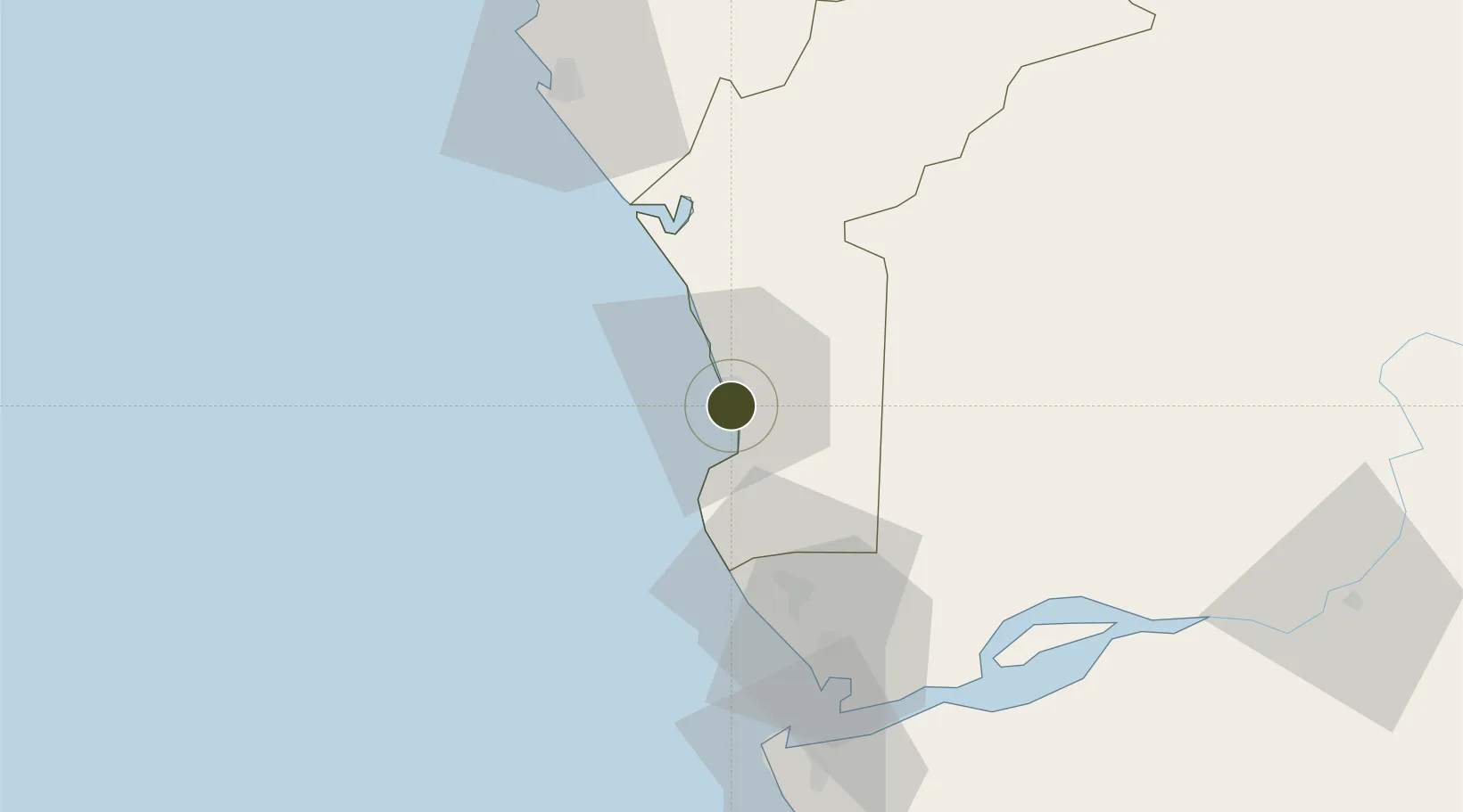
-5.4283°, 12.2146°
6 ha
Zone area
4.2 km
Nearest port
19.1 km
Nearest airport

Gateway access

Nearest neighbours — logibook spatial index (haversine) over the source coordinates

Zone profile

Zone type
Diversified Zone
Open Zone Map
Region
Cabinda
Open Zone Map
Status
Under Development
Open Zone Map
Management
Public
Open Zone Map
Operator
National Council of Industrial Development Poles
Open Zone Map
Legal framework
Decree-Law No. 18/99 of 12 November 1999
Open Zone Map

Location

Location of ozm-30
Natural Earth 10m (public domain) · Cabinda · ozm-30 · -5.43, 12.21GoogleOSMYandex

Nearby Logistics Neighbours

Ports
  1. 1Futila Terminal4 km
  2. 2Cabinda12 km
  3. 3Malongo Oil Terminal15 km
  4. 4Takula Terminal53 km
  5. 5Banana65 km
Nearest neighbours — logibook spatial index (haversine) over the source coordinates
Airports
  1. 1Cabinda Airport19 km
  2. 2Antonio Agostinho-Neto International Airport77 km
  3. 3Soyo Airport81 km
  4. 4Ngot Nzoungou Airport145 km
  5. 5Mbanza Congo Airport244 km
Nearest neighbours — logibook spatial index (haversine) over the source coordinates
Cities
  1. 1Futila Terminal4 km
  2. 2Cabinda14 km
  3. 3Sazaire Terminal75 km
  4. 4Soyo78 km
  5. 5Kuito Terminal81 km
Nearest neighbours — logibook spatial index (haversine) over the source coordinates
Trade Zones
  1. 1Pointe-Noire Special Economic Zone83 km
  2. 2Brazzaville Special Economic Zone332 km
  3. 3Boumango Special Economic Zone389 km
  4. 4Maluku Special Economic Zone397 km
  5. 5Luanda-Bengo Special Economic Zone412 km
Nearest neighbours — logibook spatial index (haversine) over the source coordinates
DatabookThe Record of Consolidated Knowledge
Angola beyond logistics?
Browse databook

All Sources

Trade ZonesOpen Zone Map
CC BY
Portsthe NGA World Port Index
Public domain (US gov)
AirportsOurAirports
Public domain
LocationsUN/LOCODE
UN/LOCODE — free
← Angola trade zones