UN/LOCODE hub · Congo - Kinshasa
CDBOA
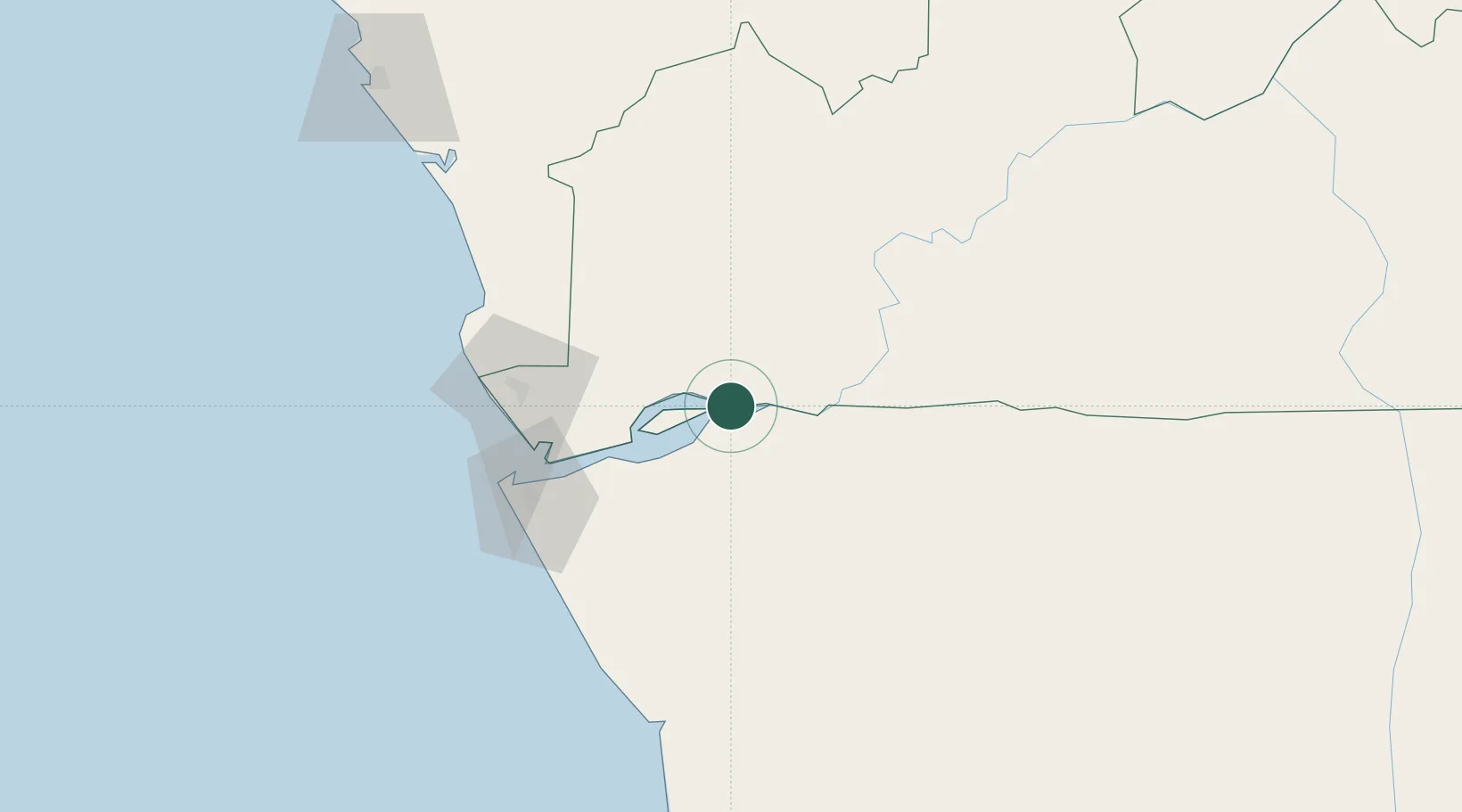
Boma
-5.8594°, 13.0539°
297,009
Population
2
Transport functions
1
Container terminals
Transport Functions
Port
Airport
Hub Profile
Place type
Populated place
Region
Bas-Congo
Population
297,009
Time zone
Africa/Kinshasa
Elevation
11 m
Logistics facilities
1
Container terminals
1
Location
Nearby Logistics Neighbours
Cities
- 1Nóqui42 km
- 2Matadi44 km
- 3Sazaire Terminal78 km
- 4Soyo86 km
- 5Cabinda100 km
Ports
- 1Matadi44 km
- 2Banana75 km
- 3Soyo Angola Lng Terminal85 km
- 4Cabinda101 km
- 5Futila Terminal107 km
Airports
- 1Soyo Airport82 km
- 2Cabinda Airport100 km
- 3Mbanza Congo Airport140 km
- 4Antonio Agostinho-Neto International Airport174 km
- 5Ngot Nzoungou Airport189 km
Trade Zones
DatabookThe Record of Consolidated Knowledge
Congo - Kinshasa beyond logistics?