Medium airport · Angola
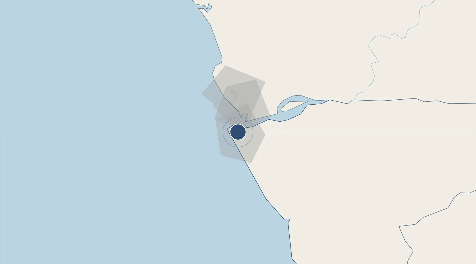
Soyo AirportFNSO

-6.1411°, 12.3718°
5,905 ft
Longest runway
1
Runways
15 ft
Elevation

Runway & Layout

Soyo Airport runway & taxiway layout
Runway & taxiway layout — OpenStreetMap (ODbL) / OurAirports

Radio Frequencies

TWR
118.8 MHz
OurAirports

Navaids

SO NDB Soyo 310 kHz
OurAirports

Runways · 1

RunwayDimensions SurfaceTrue headingLit
06/24 5,905 × 98ft Asphalt 055°
OurAirports

Airport Specifications

IATA code
SZA
OurAirports
ICAO code
FNSO
OurAirports
Airport class
Medium airport
OurAirports
Scheduled service
Yes
OurAirports
Runway surface
Asphalt
OurAirports
Served city
Soyo
OurAirports

Location

Location of FNSO
Natural Earth 10m (public domain) · Zaire · FNSO · -6.14, 12.37GoogleOSMYandex

Nearby Logistics Neighbours

Airports
  1. 1Cabinda Airport64 km
  2. 2Antonio Agostinho-Neto International Airport157 km
  3. 3Mbanza Congo Airport208 km
  4. 4Ngot Nzoungou Airport218 km
  5. 5Quatro de Fevereiro International Airport317 km
Nearest neighbours — logibook spatial index (haversine) over the source coordinates
Cities
  1. 1Soyo6 km
  2. 2Sazaire Terminal7 km
  3. 3Essungo Terminal31 km
  4. 4Cabinda68 km
  5. 5Futila Terminal80 km
Nearest neighbours — logibook spatial index (haversine) over the source coordinates
Ports
  1. 1Soyo Angola Lng Terminal5 km
  2. 2Banana18 km
  3. 3Cabinda70 km
  4. 4Futila Terminal80 km
  5. 5Boma82 km
Nearest neighbours — logibook spatial index (haversine) over the source coordinates
Trade Zones
  1. 1Fútila Industrial Development Pole81 km
  2. 2Pointe-Noire Special Economic Zone162 km
  3. 3Luanda-Bengo Special Economic Zone331 km
  4. 4Viana Industrial Development Pole337 km
  5. 5Brazzaville Special Economic Zone352 km
Nearest neighbours — logibook spatial index (haversine) over the source coordinates
DatabookThe Record of Consolidated Knowledge
Angola beyond logistics?
Browse databook

All Sources

AirportsOurAirports
Public domain
Portsthe NGA World Port Index
Public domain (US gov)
LocationsUN/LOCODE
UN/LOCODE — free
Trade Zonesthe World Bank SEZ database
CC BY 4.0
Trade ZonesOpen Zone Map
CC BY
InfrastructureOpenStreetMap
ODbL 1.0
← Angola airports