Seaport · Congo - Kinshasa
BomaCDBOA
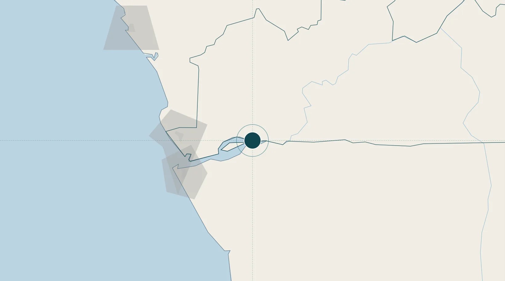
-5.8500°, 13.0500°
7.9 m
Channel depth
1
Container terminals
10.5
Port liner connectivity
Channel & Berth Profile
Pilotage, Tugs & Services
Pilotage compulsoryYES
Pilotage advisableYES
Tug assistanceYES
Salvage tugsNO
Shore powerYES
Potable waterYES
Diesel bunkersYES
MedicalYES
Facilities & Capabilities
Container—
Ro-Ro—
Liquid bulk—
Dry bulk—
Oil terminal—
Break bulk—
Dry dockNO
RepairsNO
BunkeringYES
Rail linkYES
Dangerous cargo—
ISPS security—
Harbour Specifications
Harbour size
Small
Harbour type
River (Natural)
Shelter
Fair
Water body
South Atlantic Ocean
Tidal range
1.8 m
Overhead limit
Yes
Pilotage
Yes
Liner Connectivity
10.5
PLSCI
Port Liner Shipping Connectivity Index for Boma, as published by UNCTAD for the latest available quarter. Higher values indicate stronger scheduled liner-shipping integration.
Shown relative to the highest per-port PLSCI in the dataset (1,657.9).
Location
Container Terminals · 1
BOMA PORT
BOA SOCIÉTÉ COMMERCIALE DES TRANSPORTS ET DES PORTS (SCTP)
Nearby Logistics Neighbours
Ports
- 1Matadi44 km
- 2Banana75 km
- 3Soyo Angola Lng Terminal85 km
- 4Cabinda100 km
- 5Futila Terminal106 km
Cities
- 1Nóqui42 km
- 2Matadi44 km
- 3Sazaire Terminal78 km
- 4Soyo86 km
- 5Cabinda99 km
Airports
- 1Soyo Airport82 km
- 2Cabinda Airport99 km
- 3Mbanza Congo Airport140 km
- 4Antonio Agostinho-Neto International Airport173 km
- 5Ngot Nzoungou Airport188 km
Trade Zones
DatabookThe Record of Consolidated Knowledge
Congo - Kinshasa beyond logistics?