Transport Functions
Port
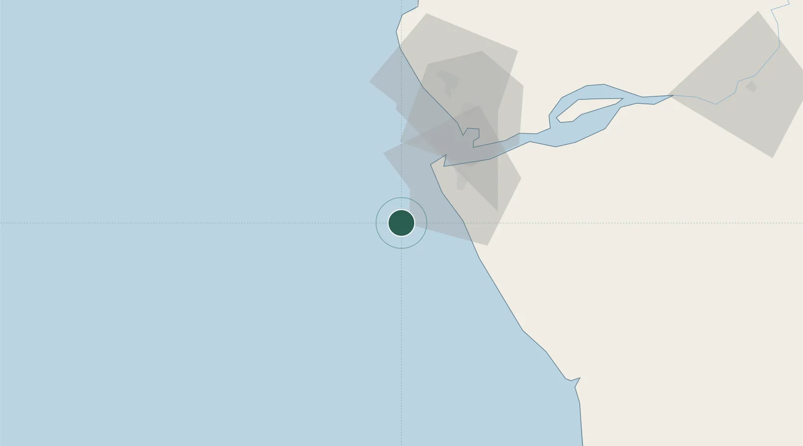
Location
Nearby Logistics Neighbours
Cities
- 1Soyo29 km
- 2Sazaire Terminal37 km
- 3Lombo Terminal75 km
- 4Cabinda87 km
- 5Futila Terminal98 km
Ports
- 1Soyo Angola Lng Terminal30 km
- 2Banana46 km
- 3Palanca Terminal73 km
- 4Cabinda89 km
- 5Futila Terminal98 km
Airports
- 1Soyo Airport31 km
- 2Cabinda Airport82 km
- 3Antonio Agostinho-Neto International Airport172 km
- 4Mbanza Congo Airport230 km
- 5Ngot Nzoungou Airport243 km
Trade Zones
DatabookThe Record of Consolidated Knowledge
Angola beyond logistics?