Transport Functions
Multimodal
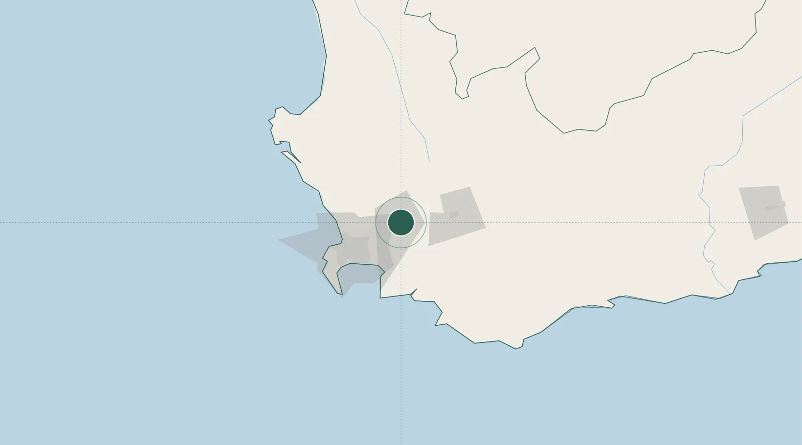
Hub Profile
Region
WC
Location
Nearby Logistics Neighbours
Cities
- 1Simondium13 km
- 2Klapmuts15 km
- 3Wemmershoek17 km
- 4Franschoek25 km
- 5Klipheuwel28 km
Ports
- 1Cape Town58 km
- 2Simonstown74 km
- 3Saldanha Bay122 km
- 4Mossel Bay295 km
- 5Port Elizabeth614 km
Airports
- 1Cape Town International Airport46 km
- 2Ysterplaat Air Force Base51 km
- 3Robertson Airport84 km
- 4Langebaanweg Airport114 km
- 5Saldanha/Vredenburg Airport127 km
Trade Zones
DatabookThe Record of Consolidated Knowledge
South Africa beyond logistics?