Transport Functions
Multimodal
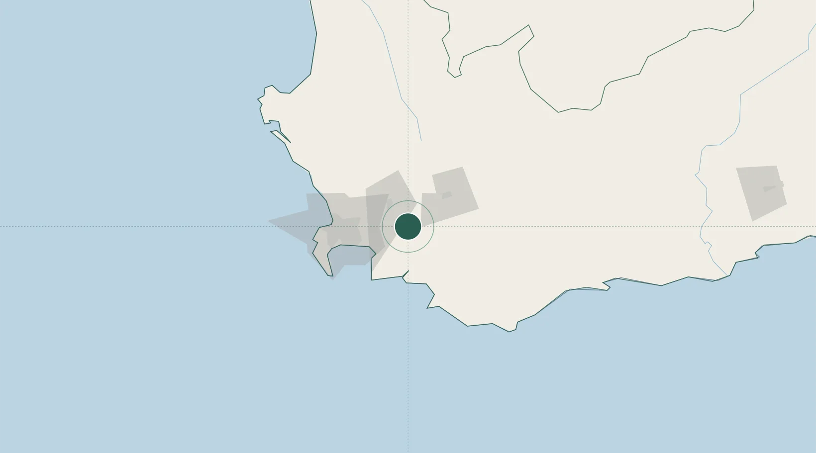
Hub Profile
Region
WC
Location
Nearby Logistics Neighbours
Cities
- 1Wemmershoek11 km
- 2Villiersdorp16 km
- 3Vyeboom17 km
- 4Simondium22 km
- 5Paarl Wpk25 km
Ports
- 1Cape Town66 km
- 2Simonstown71 km
- 3Saldanha Bay146 km
- 4Mossel Bay279 km
- 5Port Elizabeth600 km
Airports
- 1Cape Town International Airport49 km
- 2Ysterplaat Air Force Base59 km
- 3Robertson Airport72 km
- 4Langebaanweg Airport139 km
- 5Saldanha/Vredenburg Airport151 km
Trade Zones
DatabookThe Record of Consolidated Knowledge
South Africa beyond logistics?