UN/LOCODE hub · South Africa
ZA2WC
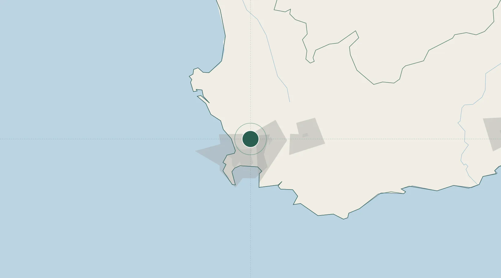
Klipheuwel
-33.7000°, 18.7000°
2,748
Population
2
Transport functions
Transport Functions
Port
Multimodal
Hub Profile
Place type
Populated place
Region
Western Cape
Population
2,748
Time zone
Africa/Johannesburg
Elevation
75 m
Location
Nearby Logistics Neighbours
Cities
- 1Philidelphia14 km
- 2Kraaifontein17 km
- 3Brackenfell19 km
- 4Klapmuts19 km
- 5Stellenberg19 km
Ports
- 1Cape Town36 km
- 2Simonstown59 km
- 3Saldanha Bay101 km
- 4Mossel Bay322 km
- 5Port Elizabeth642 km
Airports
- 1Ysterplaat Air Force Base29 km
- 2Cape Town International Airport32 km
- 3Langebaanweg Airport96 km
- 4Saldanha/Vredenburg Airport106 km
- 5Robertson Airport112 km
Trade Zones
DatabookThe Record of Consolidated Knowledge
South Africa beyond logistics?