Transport Functions
Multimodal
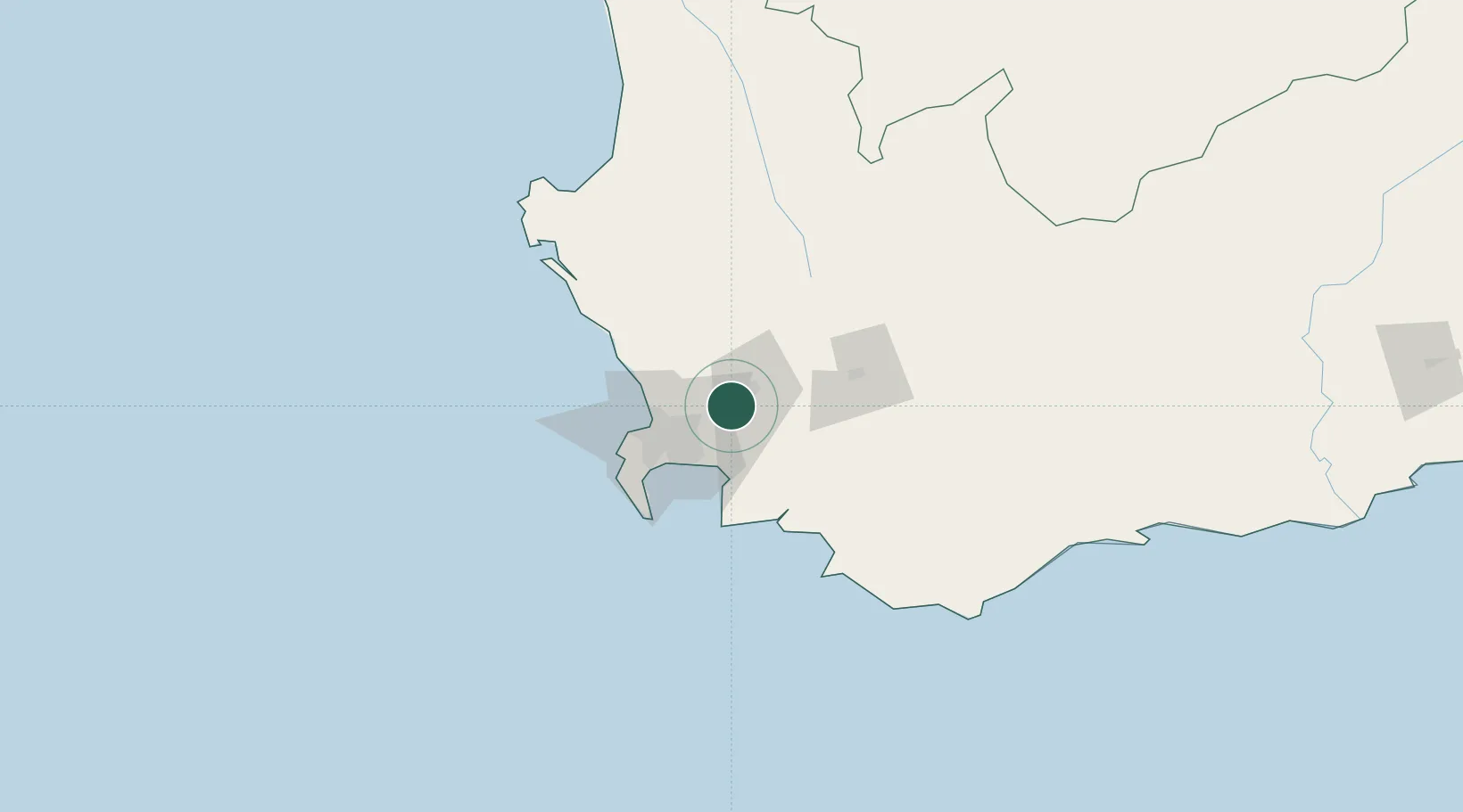
Hub Profile
Place type
Populated place
Region
Western Cape
Population
9,229
Time zone
Africa/Johannesburg
Elevation
174 m
Location
Nearby Logistics Neighbours
Cities
- 1Simondium6 km
- 2Kraaifontein15 km
- 3Paarl Wpk15 km
- 4Wemmershoek17 km
- 5Brackenfell19 km
Ports
- 1Cape Town44 km
- 2Simonstown58 km
- 3Saldanha Bay119 km
- 4Mossel Bay305 km
- 5Port Elizabeth626 km
Airports
- 1Cape Town International Airport31 km
- 2Ysterplaat Air Force Base36 km
- 3Robertson Airport96 km
- 4Langebaanweg Airport113 km
- 5Saldanha/Vredenburg Airport125 km
Trade Zones
DatabookThe Record of Consolidated Knowledge
South Africa beyond logistics?