Transport Functions
Multimodal
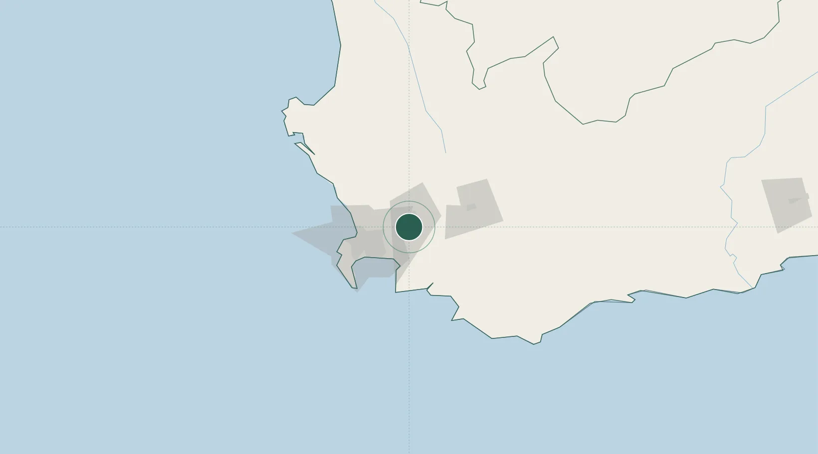
Hub Profile
Place type
Populated place
Region
Western Cape
Time zone
Africa/Johannesburg
Elevation
150 m
Location
Nearby Logistics Neighbours
Cities
- 1Klapmuts6 km
- 2Wemmershoek11 km
- 3Paarl Wpk13 km
- 4Kraaifontein20 km
- 5Franschoek22 km
Ports
- 1Cape Town49 km
- 2Simonstown61 km
- 3Saldanha Bay125 km
- 4Mossel Bay299 km
- 5Port Elizabeth619 km
Airports
- 1Cape Town International Airport35 km
- 2Ysterplaat Air Force Base41 km
- 3Robertson Airport90 km
- 4Langebaanweg Airport119 km
- 5Saldanha/Vredenburg Airport130 km
Trade Zones
DatabookThe Record of Consolidated Knowledge
South Africa beyond logistics?