Medium airport · South Africa
Langebaanweg AirportFALW
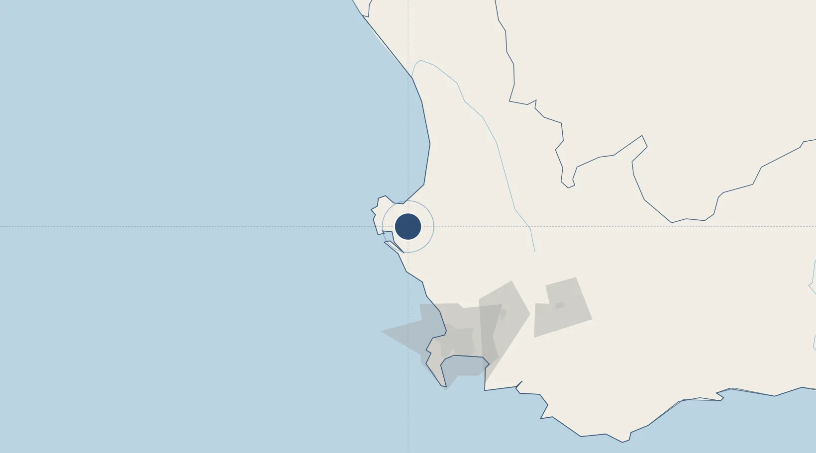
-32.9689°, 18.1603°
7,689 ft
Longest runway
4
Runways
108 ft
Elevation
Runway & Layout

Radio Frequencies
ATIS
117 MHz
TWR
128.8 MHz
GND
121.75 MHz
APP
122.5 MHz
Navaids
LW NDB Langebaanweg 345 kHz
LWV VORTAC Langebaanweg 117.00 MHz
Runways · 4
| Runway | Dimensions | Surface | True heading | Lit |
|---|---|---|---|---|
| 02R/20L | 7,689 × 150ft | Asphalt | 001° | ✓ |
| 02L/20R | 7,680 × 150ft | Asphalt | 001° | ✓ |
| 16/34 | 6,533 × 150ft | Asphalt | 136° | ✓ |
| 07/25 | 4,935 × 150ft | Asphalt | 046° | — |
Airport Specifications
IATA code
SDB
ICAO code
FALW
Airport class
Medium airport
Scheduled service
No
Runway surface
Asphalt
Served city
Langebaanweg
Location
Nearby Logistics Neighbours
Airports
- 1Saldanha/Vredenburg Airport18 km
- 2Ysterplaat Air Force Base108 km
- 3Cape Town International Airport119 km
- 4Vredendal Airport152 km
- 5Robertson Airport187 km
Cities
- 1Bottelary19 km
- 2Laaiplek23 km
- 3Piketberg54 km
- 4Dassenberg73 km
- 5Malmesbury76 km
Ports
- 1Saldanha Bay19 km
- 2Cape Town108 km
- 3Simonstown138 km
- 4Mossel Bay393 km
- 5Port Elizabeth703 km
Trade Zones
DatabookThe Record of Consolidated Knowledge
South Africa beyond logistics?