UN/LOCODE hub · South Africa
ZAWWC
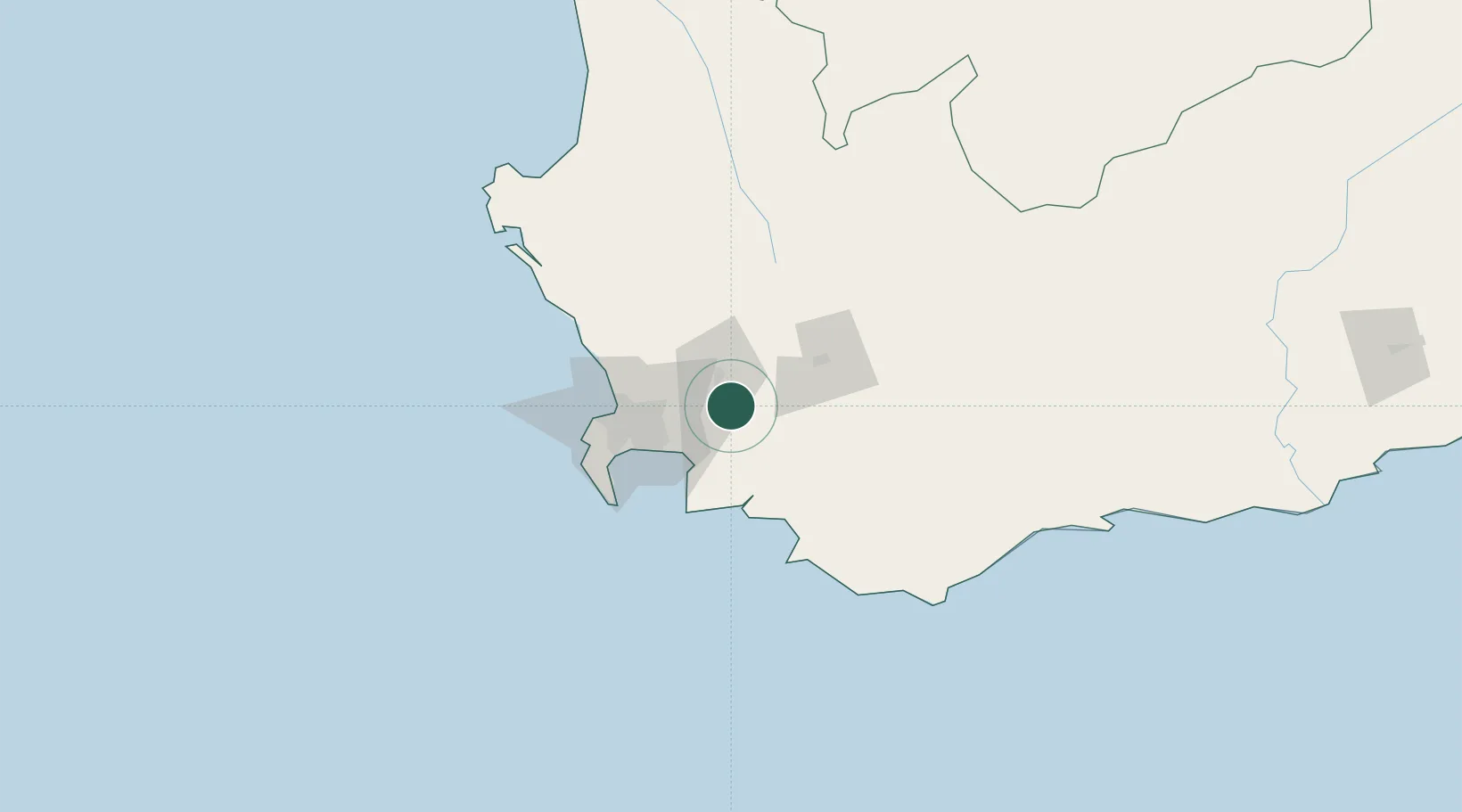
Wemmershoek
-33.8667°, 19.0333°
1,238
Population
2
Transport functions
Transport Functions
Port
Multimodal
Hub Profile
Place type
Populated place
Region
Western Cape
Population
1,238
Time zone
Africa/Johannesburg
Elevation
197 m
Location
Nearby Logistics Neighbours
Cities
- 1Franschoek11 km
- 2Simondium11 km
- 3Paarl Wpk17 km
- 4Klapmuts17 km
- 5Vyeboom24 km
Ports
- 1Cape Town57 km
- 2Simonstown65 km
- 3Saldanha Bay136 km
- 4Mossel Bay289 km
- 5Port Elizabeth610 km
Airports
- 1Cape Town International Airport41 km
- 2Ysterplaat Air Force Base50 km
- 3Robertson Airport81 km
- 4Langebaanweg Airport129 km
- 5Saldanha/Vredenburg Airport141 km
Trade Zones
DatabookThe Record of Consolidated Knowledge
South Africa beyond logistics?