Large airport · South Africa
Cape Town International AirportFACT
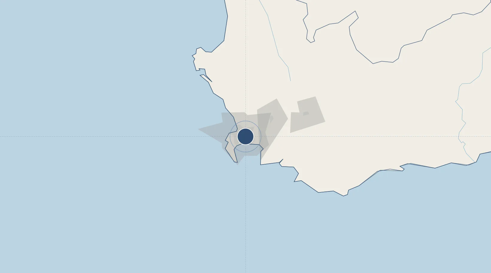
-33.9740°, 18.6043°
10,502 ft
Longest runway
2
Runways
151 ft
Elevation
Runway & Layout

Radio Frequencies
ATIS
127 MHz
ATIS
127.6 MHz
Long Range ATIS
TWR
118.1 MHz
Tower
GND
121.9 MHz
Ground
DEL
122.1 MHz
Delivery
APP
119.7 MHz
Approach
APP
124.5 MHz
Director
AC
122.65 MHz
Apron Control
Navaids
CB NDB Cape Town 463 kHz
CTV VORTAC Cape Town 115.70 MHz
Runways · 2
| Runway | Dimensions | Surface | True heading | Lit |
|---|---|---|---|---|
| 01/19 | 10,502 × 200ft | Asphalt | 346° | ✓ |
| 16/34 | 5,581 × 151ft | Asphalt | 136° | ✓ |
Airport Specifications
IATA code
CPT
ICAO code
FACT
Airport class
Large airport
Scheduled service
Yes
Runway surface
Asphalt
Served city
Cape Town
Location
Nearby Logistics Neighbours
Airports
- 1Ysterplaat Air Force Base13 km
- 2Langebaanweg Airport119 km
- 3Robertson Airport121 km
- 4Saldanha/Vredenburg Airport127 km
- 5Vredendal Airport260 km
Cities
- 1Elsiesriver7 km
- 2Blackheath8 km
- 3Cape Town9 km
- 4Goodwood10 km
- 5Culemborg10 km
Ports
- 1Cape Town18 km
- 2Simonstown28 km
- 3Saldanha Bay120 km
- 4Mossel Bay327 km
- 5Port Elizabeth649 km
Trade Zones
DatabookThe Record of Consolidated Knowledge
South Africa beyond logistics?