Medium airport · South Africa

Ysterplaat Air Force BaseFAYP
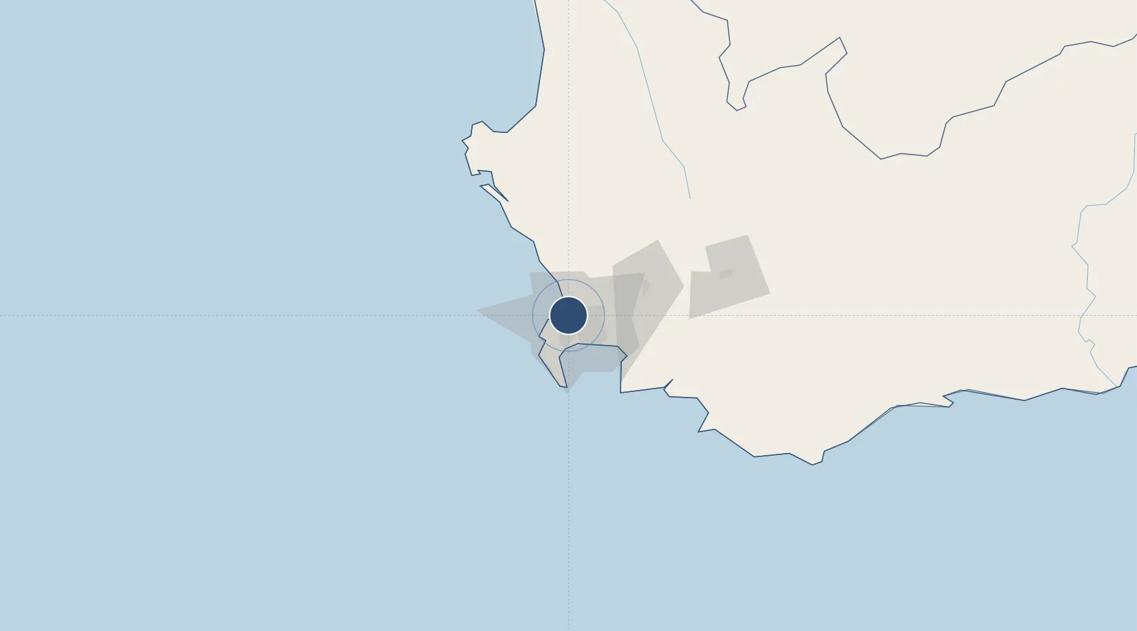
-33.9002°, 18.4983°
5,200 ft
Longest runway
1
Runways
52 ft
Elevation

Runway & Layout

Ysterplaat Air Force Base runway & taxiway layout
Runway & taxiway layout — OpenStreetMap (ODbL) / OurAirports

Radio Frequencies

TWR
125.6 MHz
GND
121.85 MHz
APP
119.7 MHz
CAPE TOWN APP
OurAirports

Runways · 1

RunwayDimensions SurfaceTrue headingLit
02/20 5,200 × 75ft Asphalt 356°
OurAirports

Airport Specifications

ICAO code
FAYP
OurAirports
Airport class
Medium airport
OurAirports
Scheduled service
No
OurAirports
Runway surface
Asphalt
OurAirports
Served city
Cape Town
OurAirports

Location

Location of FAYP
Natural Earth 10m (public domain) · Western Cape · FAYP · -33.90, 18.50GoogleOSMYandex

Nearby Logistics Neighbours

Airports
  1. 1Cape Town International Airport13 km
  2. 2Langebaanweg Airport108 km
  3. 3Saldanha/Vredenburg Airport115 km
  4. 4Robertson Airport130 km
  5. 5Vredendal Airport251 km
Nearest neighbours — logibook spatial index (haversine) over the source coordinates
Cities
  1. 1Paardeneiland3 km
  2. 2Milnerton4 km
  3. 3Cape Town4 km
  4. 4Montague Gardens4 km
  5. 5Goodwood5 km
Nearest neighbours — logibook spatial index (haversine) over the source coordinates
Ports
  1. 1Cape Town8 km
  2. 2Simonstown32 km
  3. 3Saldanha Bay108 km
  4. 4Mossel Bay338 km
  5. 5Port Elizabeth659 km
Nearest neighbours — logibook spatial index (haversine) over the source coordinates
Trade Zones
  1. 1Atlantis Special Economic Zone35 km
  2. 2Saldanha Bay Special Economic Zone108 km
  3. 3Namakwa (Nama-Khoi) Special Economic Zone522 km
  4. 4Upington Special Economic Zone662 km
  5. 5Coega Industrial Development Zone663 km
Nearest neighbours — logibook spatial index (haversine) over the source coordinates
DatabookThe Record of Consolidated Knowledge
South Africa beyond logistics?
Browse databook

All Sources

AirportsOurAirports
Public domain
Portsthe NGA World Port Index
Public domain (US gov)
LocationsUN/LOCODE
UN/LOCODE — free
Trade Zonesthe World Bank SEZ database
CC BY 4.0
Trade ZonesOpen Zone Map
CC BY
InfrastructureOpenStreetMap
ODbL 1.0
← South Africa airports