Medium airport · South Africa

Saldanha/Vredenburg AirportFASD
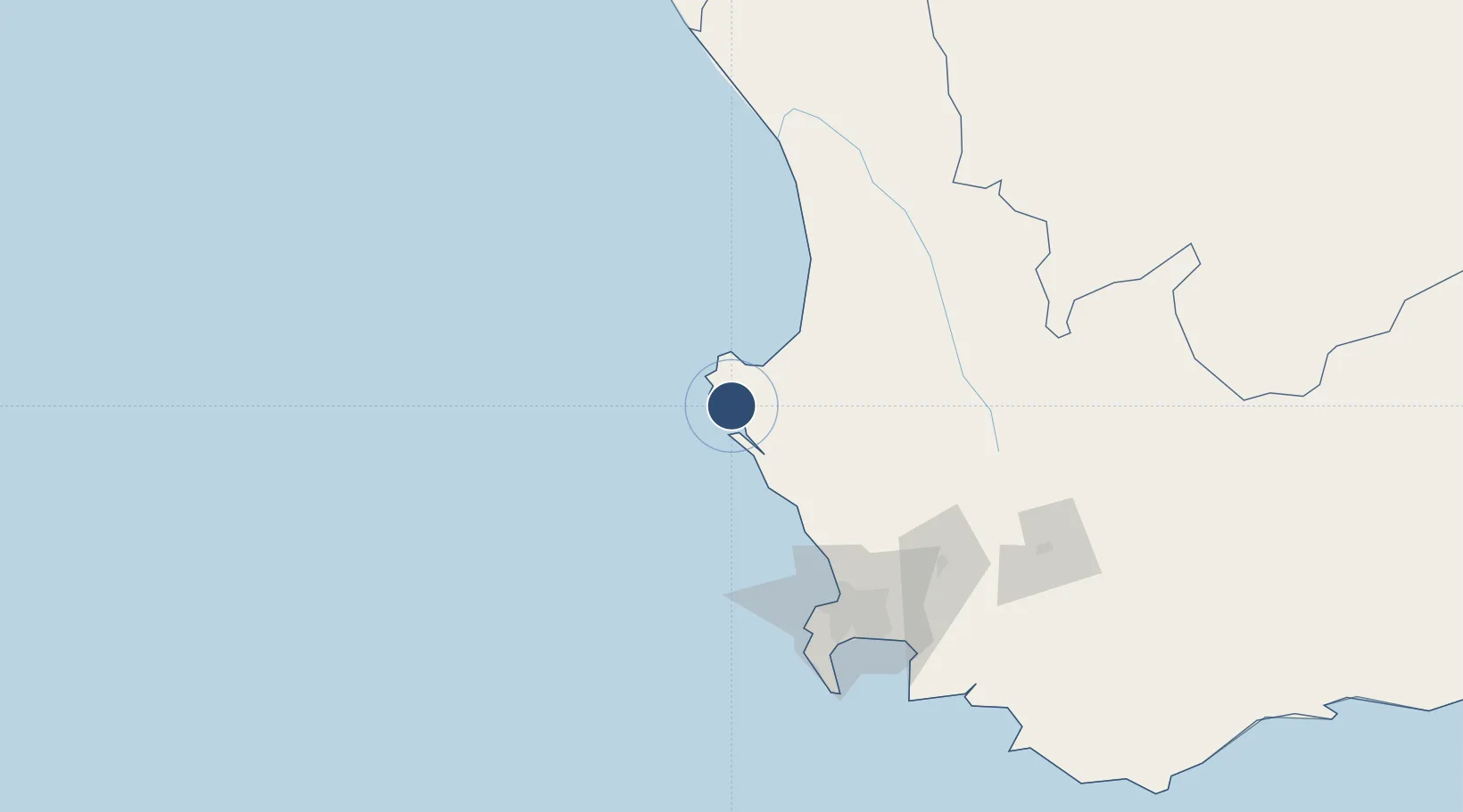
-32.9641°, 17.9693°
4,665 ft
Longest runway
1
Runways
50 ft
Elevation

Runway & Layout

Saldanha/Vredenburg Airport runway & taxiway layout
Runway & taxiway layout — OpenStreetMap (ODbL) / OurAirports

Radio Frequencies

APP
122.5 MHz
LANGEBAANWEG APP
RDO
122.7 MHz
OurAirports

Runways · 1

RunwayDimensions SurfaceTrue headingLit
02/20 4,665 × 82ft Asphalt 358°
OurAirports

Airport Specifications

ICAO code
FASD
OurAirports
Airport class
Medium airport
OurAirports
Scheduled service
No
OurAirports
Runway surface
Asphalt
OurAirports
Served city
Saldanha-Vredenburg
OurAirports

Location

Location of FASD
Natural Earth 10m (public domain) · Western Cape · FASD · -32.96, 17.97GoogleOSMYandex

Nearby Logistics Neighbours

Airports
  1. 1Langebaanweg Airport18 km
  2. 2Ysterplaat Air Force Base115 km
  3. 3Cape Town International Airport127 km
  4. 4Vredendal Airport157 km
  5. 5Robertson Airport203 km
Nearest neighbours — logibook spatial index (haversine) over the source coordinates
Cities
  1. 1Bottelary22 km
  2. 2Laaiplek28 km
  3. 3Piketberg72 km
  4. 4Elands Bay81 km
  5. 5Dassenberg83 km
Nearest neighbours — logibook spatial index (haversine) over the source coordinates
Ports
  1. 1Saldanha Bay8 km
  2. 2Cape Town114 km
  3. 3Simonstown143 km
  4. 4Mossel Bay410 km
  5. 5Port Elizabeth720 km
Nearest neighbours — logibook spatial index (haversine) over the source coordinates
Trade Zones
  1. 1Saldanha Bay Special Economic Zone9 km
  2. 2Atlantis Special Economic Zone84 km
  3. 3Namakwa (Nama-Khoi) Special Economic Zone427 km
  4. 4Upington Special Economic Zone593 km
  5. 5Somerset East Industrial Park713 km
Nearest neighbours — logibook spatial index (haversine) over the source coordinates
DatabookThe Record of Consolidated Knowledge
South Africa beyond logistics?
Browse databook

All Sources

AirportsOurAirports
Public domain
Portsthe NGA World Port Index
Public domain (US gov)
LocationsUN/LOCODE
UN/LOCODE — free
Trade Zonesthe World Bank SEZ database
CC BY 4.0
Trade ZonesOpen Zone Map
CC BY
InfrastructureOpenStreetMap
ODbL 1.0
← South Africa airports