Export Processing Zone · South Africa

Namakwa (Nama-Khoi) Special Economic Zone Inactive
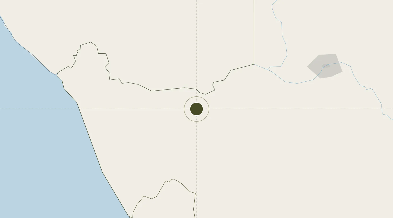
-29.2207°, 18.9592°
434.3 km
Nearest port
15.6 km
Nearest airport

Gateway access

Nearest neighbours — logibook spatial index (haversine) over the source coordinates

Zone profile

Zone type
Export Processing Zone
Open Zone Map
Region
Northern Cape
Open Zone Map
Status
Inactive
Open Zone Map
Management
Public
Open Zone Map
Operator
Northern Cape Department of Economic Development and Tourism, National Department of Trade and Industry
Open Zone Map
Legal framework
Special Economic Zones Act No.16 of 2014
Open Zone Map

Location

Location of ozm-4159
Natural Earth 10m (public domain) · Northern Cape · ozm-4159 · -29.22, 18.96GoogleOSMYandex

Nearby Logistics Neighbours

Ports
  1. 1Saldanha Bay434 km
  2. 2Luderitz Bay471 km
  3. 3Cape Town525 km
  4. 4Simonstown554 km
  5. 5Mossel Bay628 km
Nearest neighbours — logibook spatial index (haversine) over the source coordinates
Airports
  1. 1Aggeneys Airport16 km
  2. 2Springbok Airport112 km
  3. 3Kleinsee Airport188 km
  4. 4Upington Airport242 km
  5. 5Alexander Bay Airport247 km
Nearest neighbours — logibook spatial index (haversine) over the source coordinates
Cities
  1. 1Aussenkehr182 km
  2. 2Komkans239 km
  3. 3Lerato251 km
  4. 4Stompneus260 km
  5. 5Klawer285 km
Nearest neighbours — logibook spatial index (haversine) over the source coordinates
Trade Zones
  1. 1Upington Special Economic Zone239 km
  2. 2Saldanha Bay Special Economic Zone430 km
  3. 3Atlantis Special Economic Zone488 km
  4. 4Somerset East Industrial Park744 km
  5. 5Botshabelo Industrial Park751 km
Nearest neighbours — logibook spatial index (haversine) over the source coordinates
DatabookThe Record of Consolidated Knowledge
South Africa beyond logistics?
Browse databook

All Sources

Trade ZonesOpen Zone Map
CC BY
Portsthe NGA World Port Index
Public domain (US gov)
AirportsOurAirports
Public domain
LocationsUN/LOCODE
UN/LOCODE — free
← South Africa trade zones