UN/LOCODE hub · South Africa
ZAZFH
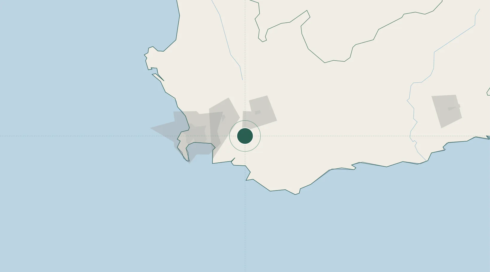
Villiersdorp
-33.9833°, 19.2833°
11,986
Population
1
Transport functions
Transport Functions
Multimodal
Hub Profile
Place type
Populated place
Region
Western Cape
Population
11,986
Time zone
Africa/Johannesburg
Elevation
353 m
Location
Nearby Logistics Neighbours
Cities
- 1Franschoek16 km
- 2Vyeboom18 km
- 3Wemmershoek27 km
- 4Rawsonville34 km
- 5Simondium37 km
Ports
- 1Cape Town80 km
- 2Simonstown81 km
- 3Saldanha Bay161 km
- 4Mossel Bay265 km
- 5Port Elizabeth586 km
Airports
- 1Robertson Airport60 km
- 2Cape Town International Airport63 km
- 3Ysterplaat Air Force Base73 km
- 4Langebaanweg Airport154 km
- 5Saldanha/Vredenburg Airport166 km
Trade Zones
DatabookThe Record of Consolidated Knowledge
South Africa beyond logistics?