Transport Functions
Multimodal
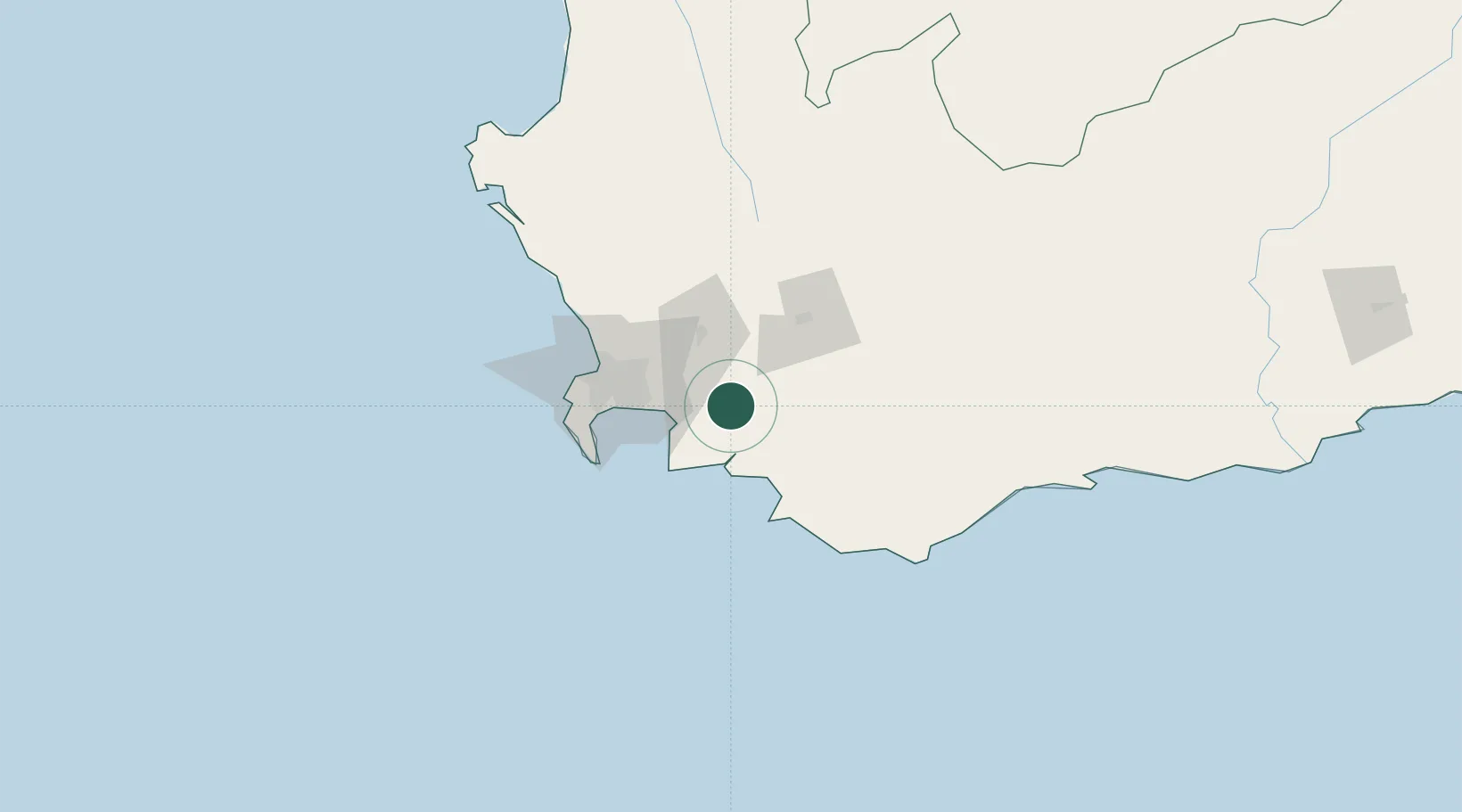
Hub Profile
Place type
Populated place
Region
Western Cape
Time zone
Africa/Johannesburg
Elevation
331 m
Location
Nearby Logistics Neighbours
Cities
- 1Franschoek17 km
- 2Villiersdorp18 km
- 3Wemmershoek24 km
- 4Strand27 km
- 5Firgrove33 km
Ports
- 1Simonstown64 km
- 2Cape Town67 km
- 3Saldanha Bay157 km
- 4Mossel Bay279 km
- 5Port Elizabeth602 km
Airports
- 1Cape Town International Airport48 km
- 2Ysterplaat Air Force Base60 km
- 3Robertson Airport78 km
- 4Langebaanweg Airport151 km
- 5Saldanha/Vredenburg Airport162 km
Trade Zones
DatabookThe Record of Consolidated Knowledge
South Africa beyond logistics?