UN/LOCODE hub · South Africa
ZARAW
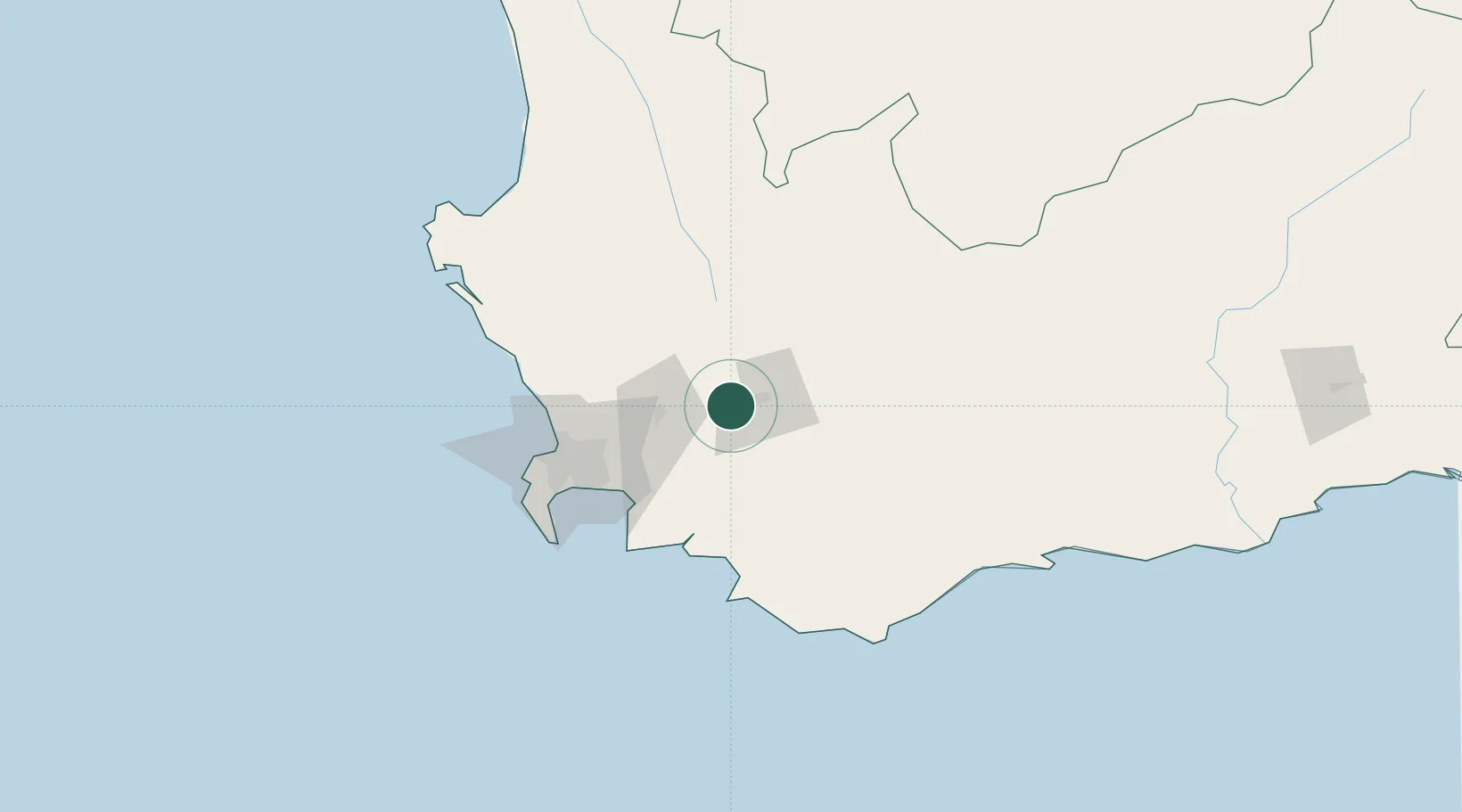
Rawsonville
-33.6833°, 19.3167°
3,712
Population
2
Transport functions
Transport Functions
Road
Multimodal
Hub Profile
Place type
Populated place
Region
Western Cape
Population
3,712
Time zone
Africa/Johannesburg
Elevation
224 m
Location
Nearby Logistics Neighbours
Cities
- 1Paarl Wpk30 km
- 2Franschoek31 km
- 3Wemmershoek33 km
- 4Hexrivier33 km
- 5Villiersdorp34 km
Ports
- 1Cape Town87 km
- 2Simonstown99 km
- 3Saldanha Bay145 km
- 4Mossel Bay267 km
- 5Port Elizabeth585 km
Airports
- 1Robertson Airport56 km
- 2Cape Town International Airport73 km
- 3Ysterplaat Air Force Base79 km
- 4Langebaanweg Airport134 km
- 5Saldanha/Vredenburg Airport149 km
Trade Zones
DatabookThe Record of Consolidated Knowledge
South Africa beyond logistics?