UN/LOCODE hub · South Africa
ZAZBN

Firgrove

-34.0333°, 18.7667°
1
Transport functions

Transport Functions

Multimodal
UN/LOCODE

Hub Profile

Region
WC
GeoNames

Location

Location of ZAZBN
Natural Earth 10m (public domain) · WC · ZAZBN · -34.03, 18.77GoogleOSMYandex

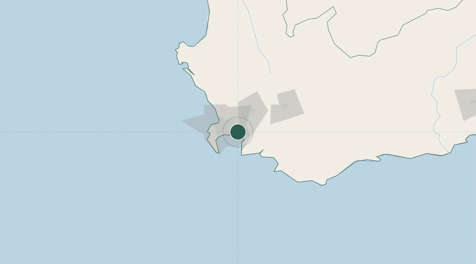
Nearby Logistics Neighbours

Cities
  1. 1Strand11 km
  2. 2Blackheath12 km
  3. 3Brackenfell20 km
  4. 4Stikland21 km
  5. 5Kraaifontein21 km
Nearest neighbours — logibook spatial index (haversine) over the source coordinates
Ports
  1. 1Simonstown35 km
  2. 2Cape Town35 km
  3. 3Saldanha Bay134 km
  4. 4Mossel Bay312 km
  5. 5Port Elizabeth634 km
Nearest neighbours — logibook spatial index (haversine) over the source coordinates
Airports
  1. 1Cape Town International Airport16 km
  2. 2Ysterplaat Air Force Base29 km
  3. 3Robertson Airport108 km
  4. 4Langebaanweg Airport131 km
  5. 5Saldanha/Vredenburg Airport140 km
Nearest neighbours — logibook spatial index (haversine) over the source coordinates
Trade Zones
  1. 1Atlantis Special Economic Zone56 km
  2. 2Saldanha Bay Special Economic Zone132 km
  3. 3Namakwa (Nama-Khoi) Special Economic Zone535 km
  4. 4Coega Industrial Development Zone638 km
  5. 5Somerset East Industrial Park650 km
Nearest neighbours — logibook spatial index (haversine) over the source coordinates
DatabookThe Record of Consolidated Knowledge
South Africa beyond logistics?
Browse databook

All Sources

LocationsUN/LOCODE
UN/LOCODE — free
Portsthe NGA World Port Index
Public domain (US gov)
AirportsOurAirports
Public domain
Trade Zonesthe World Bank SEZ database
CC BY 4.0
Trade ZonesOpen Zone Map
CC BY
← South Africa locations