Transport Functions
Port
Rail
Road
Hub Profile
Place type
Populated place
Region
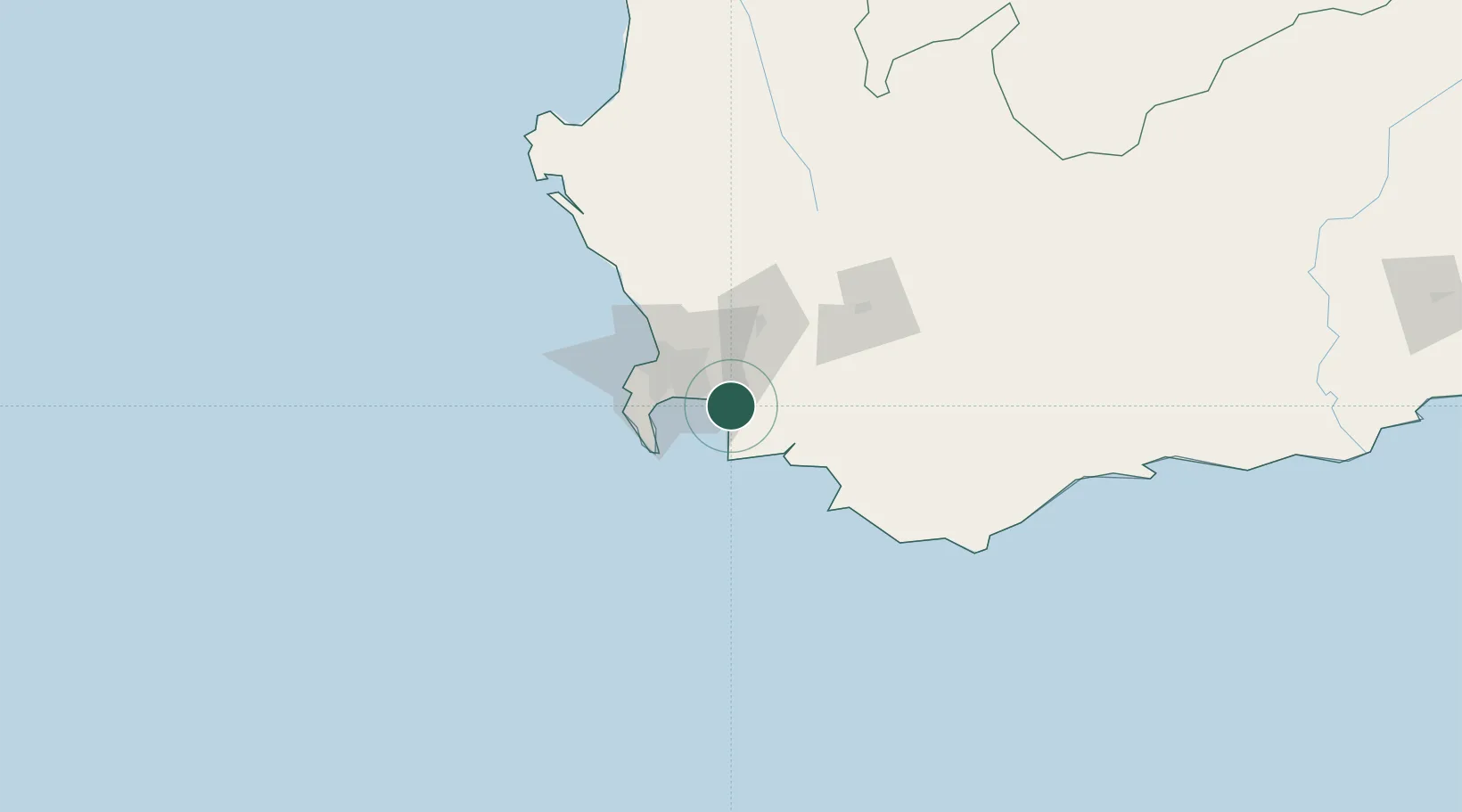
Western Cape
Time zone
Africa/Johannesburg
Elevation
7 m
Location
Nearby Logistics Neighbours
Cities
- 1Firgrove11 km
- 2Blackheath23 km
- 3Vyeboom27 km
- 4Brackenfell31 km
- 5Kraaifontein32 km
Ports
- 1Simonstown37 km
- 2Cape Town44 km
- 3Saldanha Bay145 km
- 4Mossel Bay305 km
- 5Port Elizabeth628 km
Airports
- 1Cape Town International Airport26 km
- 2Ysterplaat Air Force Base39 km
- 3Robertson Airport104 km
- 4Langebaanweg Airport142 km
- 5Saldanha/Vredenburg Airport151 km
Trade Zones
DatabookThe Record of Consolidated Knowledge
South Africa beyond logistics?