UN/LOCODE hub · South Africa
ZAZFD

Ugie Ec

-31.1833°, 28.1833°
1
Transport functions

Transport Functions

Multimodal
UN/LOCODE

Hub Profile

Region
EC
GeoNames

Location

Location of ZAZFD
Natural Earth 10m (public domain) · EC · ZAZFD · -31.18, 28.18GoogleOSMYandex

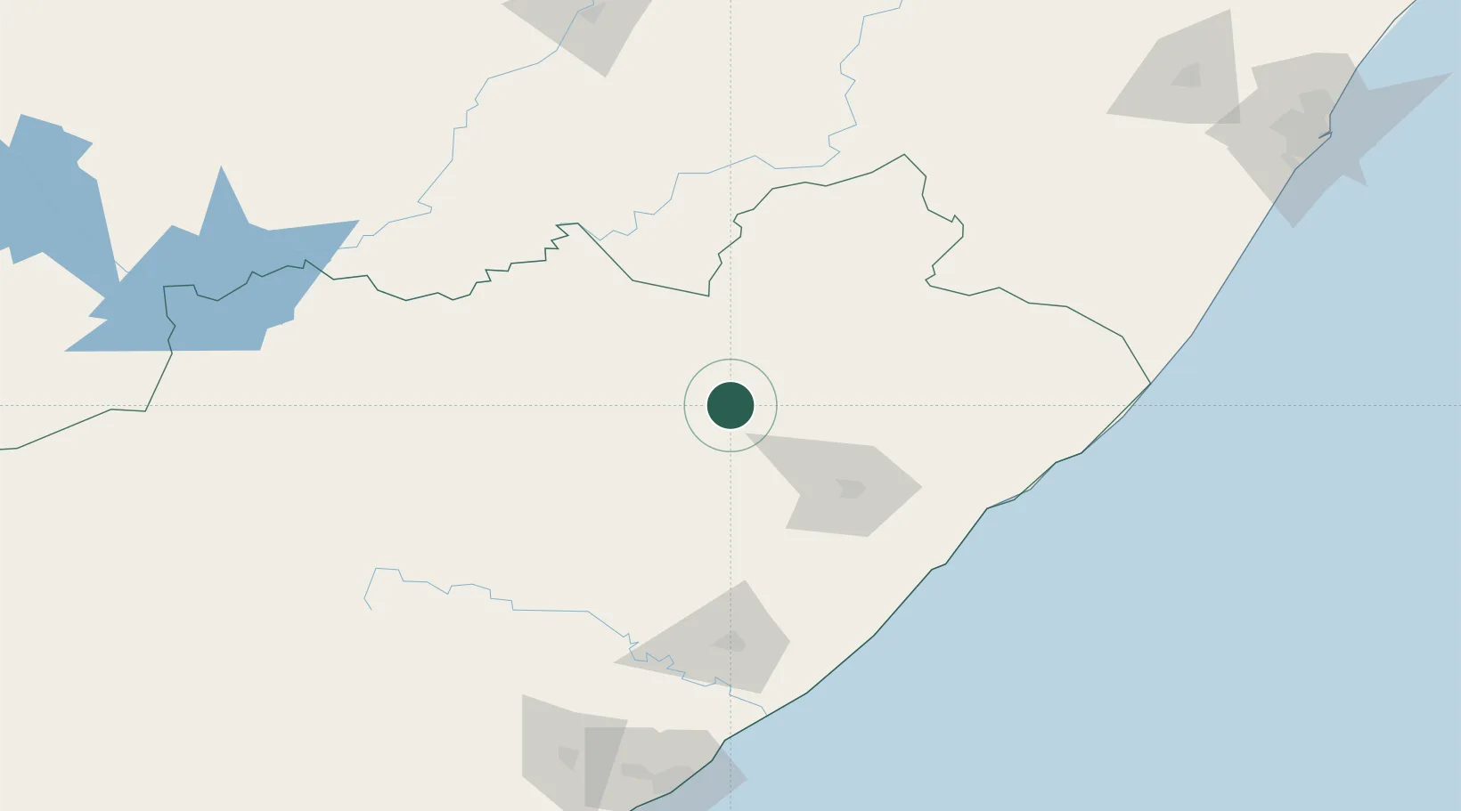
Nearby Logistics Neighbours

Cities
  1. 1Kenmore5 km
  2. 2Red Hill128 km
  3. 3Mohale's Hoek134 km
  4. 4Kokstad137 km
  5. 5Port Saint John's138 km
Nearest neighbours — logibook spatial index (haversine) over the source coordinates
Ports
  1. 1East London207 km
  2. 2Durban313 km
  3. 3Port Elizabeth389 km
  4. 4Richards Bay460 km
  5. 5Mossel Bay656 km
Nearest neighbours — logibook spatial index (haversine) over the source coordinates
Airports
  1. 1K. D. Matanzima Airport62 km
  2. 2Port St Johns Airport136 km
  3. 3Queenstown Airport148 km
  4. 4Moshoeshoe I International Airport201 km
  5. 5King Phalo Airport209 km
Nearest neighbours — logibook spatial index (haversine) over the source coordinates
Trade Zones
  1. 1Wild Coast (Mthatha) Special Economic Zone63 km
  2. 2Vulindlela Industrial Park73 km
  3. 3Komani Industrial Park145 km
  4. 4Mafeteng Special Economic Zone178 km
  5. 5Dimbaza Industrial Park206 km
Nearest neighbours — logibook spatial index (haversine) over the source coordinates
DatabookThe Record of Consolidated Knowledge
South Africa beyond logistics?
Browse databook

All Sources

LocationsUN/LOCODE
UN/LOCODE — free
Portsthe NGA World Port Index
Public domain (US gov)
AirportsOurAirports
Public domain
Trade Zonesthe World Bank SEZ database
CC BY 4.0
Trade ZonesOpen Zone Map
CC BY
← South Africa locations