Large airport · Lesotho
Moshoeshoe I International AirportFXMM
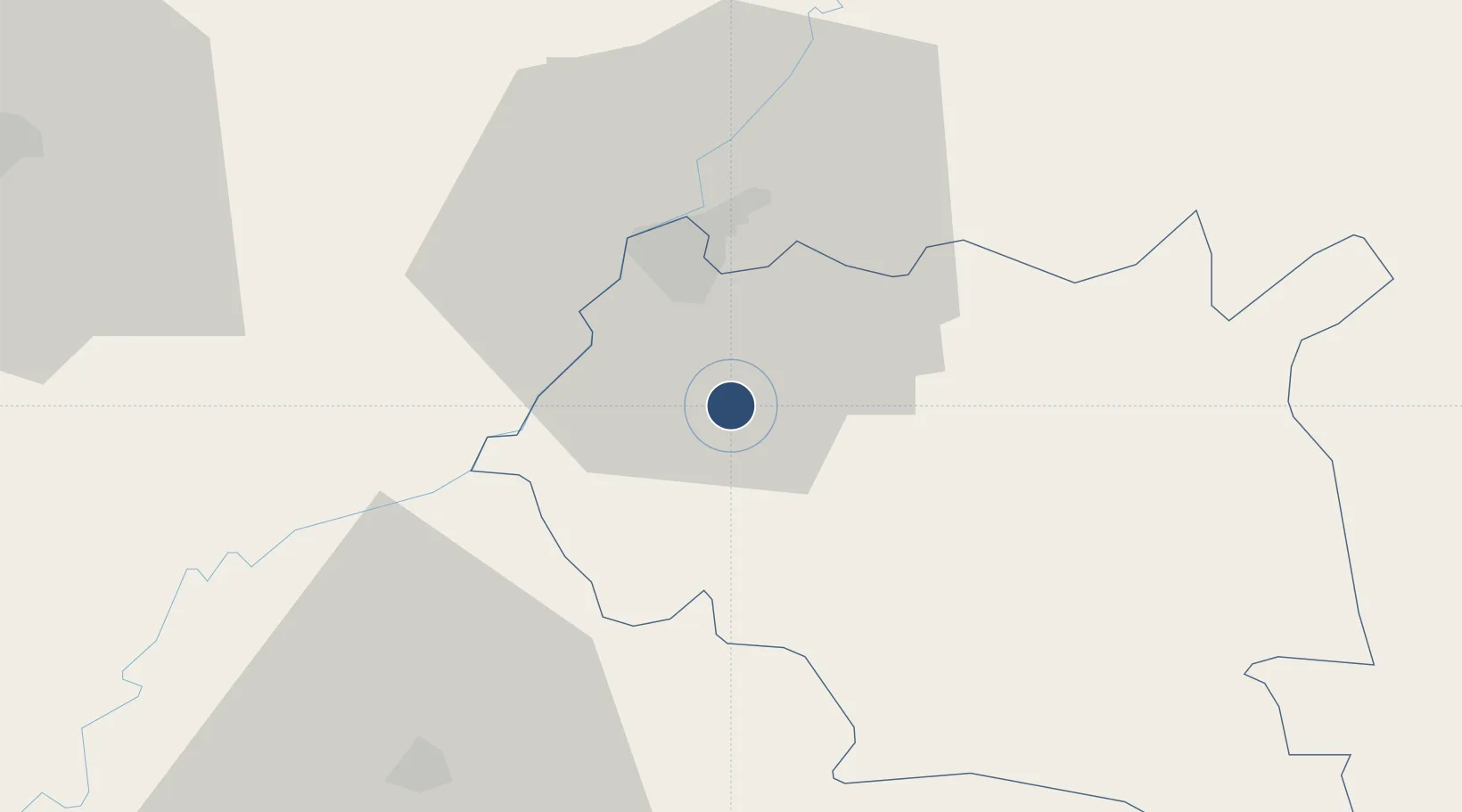
-29.4563°, 27.5545°
10,498 ft
Longest runway
2
Runways
5,348 ft
Elevation
Runway & Layout

Radio Frequencies
TWR
118.5 MHz
MASERU TWR
GND
121.7 MHz
MASERU GND
APP
120.7 MHz
MASERU APP
Navaids
ME NDB Berea 255 kHz
MZV VOR-DME Mazenod 117.20 MHz
Runways · 2
| Runway | Dimensions | Surface | True heading | Lit |
|---|---|---|---|---|
| 04/22 | 10,498 × 148ft | Asphalt | 015° | ✓ |
| 11/29 | 3,314 × 75ft | Asphalt | 085° | ✓ |
Airport Specifications
IATA code
MSU
ICAO code
FXMM
Airport class
Large airport
Scheduled service
Yes
Runway surface
Asphalt
Served city
Maseru(Mazenod)
Location
Nearby Logistics Neighbours
Airports
- 1Ficksburg Sentraoes Airport78 km
- 2Bram Fischer International Airport128 km
- 3Harrismith Airport203 km
- 4Ladysmith Airport235 km
- 5K. D. Matanzima Airport256 km
Cities
- 1Maputsoe72 km
- 2Mohale's Hoek78 km
- 3Roodekop82 km
- 4Marquard89 km
- 5Butha-Buthe100 km
Ports
- 1Durban342 km
- 2East London399 km
- 3Richards Bay447 km
- 4Port Elizabeth532 km
- 5Maputo626 km
Trade Zones
DatabookThe Record of Consolidated Knowledge
Lesotho beyond logistics?