Specialized Zone · Lesotho

Mafeteng Special Economic Zone Under Development
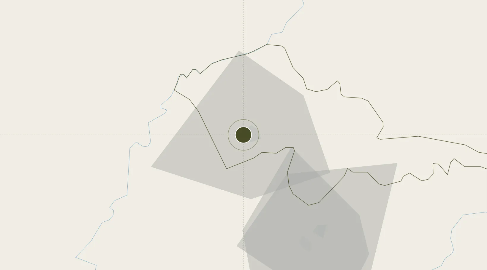
-29.8117°, 27.2253°
121 ha
Zone area
364.2 km
Nearest port
50.7 km
Nearest airport

Gateway access

Nearest neighbours — logibook spatial index (haversine) over the source coordinates

Zone profile

Zone type
Specialized Zone
Open Zone Map
Specialization
Biotech
Open Zone Map
Region
Mafeteng
Open Zone Map
Status
Under Development
Open Zone Map
Management
Public
Open Zone Map
Operator
Lesotho National Development Corporation
Open Zone Map

Location

Location of ozm-2710
Natural Earth 10m (public domain) · Mafeteng · ozm-2710 · -29.81, 27.23GoogleOSMYandex

Nearby Logistics Neighbours

Ports
  1. 1East London364 km
  2. 2Durban371 km
  3. 3Port Elizabeth484 km
  4. 4Richards Bay485 km
  5. 5Maputo676 km
Nearest neighbours — logibook spatial index (haversine) over the source coordinates
Airports
  1. 1Moshoeshoe I International Airport51 km
  2. 2Bram Fischer International Airport120 km
  3. 3Ficksburg Sentraoes Airport128 km
  4. 4Queenstown Airport237 km
  5. 5K. D. Matanzima Airport237 km
Nearest neighbours — logibook spatial index (haversine) over the source coordinates
Cities
  1. 1Mohale's Hoek44 km
  2. 2Roodekop83 km
  3. 3Maputsoe122 km
  4. 4Bloemfontein125 km
  5. 5Dan Pienaar127 km
Nearest neighbours — logibook spatial index (haversine) over the source coordinates
Trade Zones
  1. 1Thetsane Industrial Area57 km
  2. 2Botshabelo Industrial Park85 km
  3. 3Nyenye Industrial Area120 km
  4. 4Komani Industrial Park236 km
  5. 5Wild Coast (Mthatha) Special Economic Zone239 km
Nearest neighbours — logibook spatial index (haversine) over the source coordinates
DatabookThe Record of Consolidated Knowledge
Lesotho beyond logistics?
Browse databook

All Sources

Trade ZonesOpen Zone Map
CC BY
Portsthe NGA World Port Index
Public domain (US gov)
AirportsOurAirports
Public domain
LocationsUN/LOCODE
UN/LOCODE — free
← Lesotho trade zones