UN/LOCODE hub · South Africa
ZAJOH
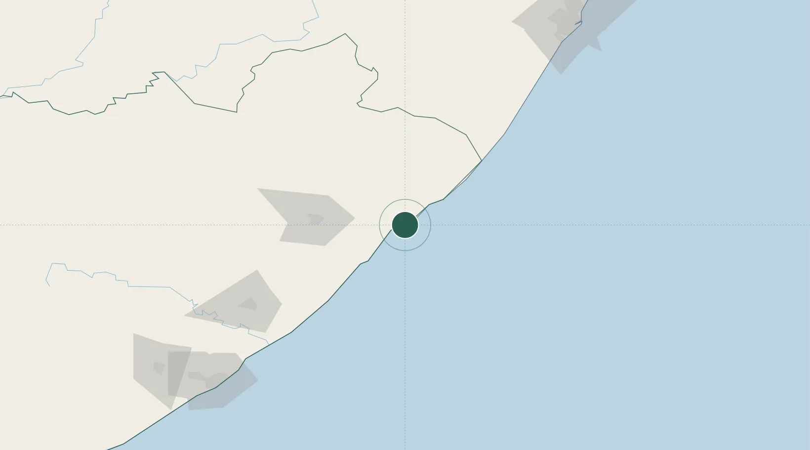
Port Saint John's
-31.6333°, 29.5333°
5,939
Population
3
Transport functions
Transport Functions
Port
Road
Airport
Hub Profile
Place type
Populated place
Region
Eastern Cape
Population
5,939
Time zone
Africa/Johannesburg
Elevation
7 m
Location
Nearby Logistics Neighbours
Cities
- 1Port Edward92 km
- 2Southbroom109 km
- 3Faerie Glen116 km
- 4Kokstad121 km
- 5Ugie Ec138 km
Ports
- 1East London218 km
- 2Durban245 km
- 3Richards Bay399 km
- 4Port Elizabeth446 km
- 5Maputo695 km
Airports
- 1Port St Johns Airport3 km
- 2K. D. Matanzima Airport82 km
- 3Margate Airport116 km
- 4King Phalo Airport224 km
- 5Pietermaritzburg Airport236 km
Trade Zones
DatabookThe Record of Consolidated Knowledge
South Africa beyond logistics?