Transport Functions
Road
Multimodal
Hub Profile
Place type
Populated place
Region
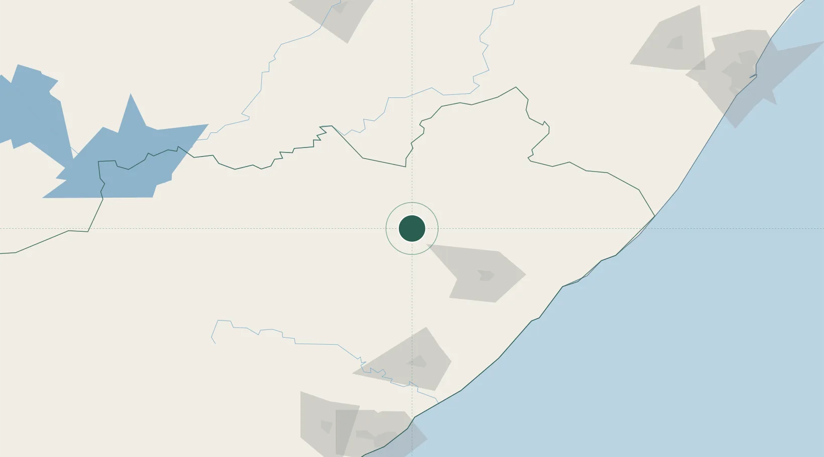
Eastern Cape
Time zone
Africa/Johannesburg
Elevation
1,359 m
Location
Nearby Logistics Neighbours
Cities
- 1Ugie Ec5 km
- 2Red Hill128 km
- 3Mohale's Hoek131 km
- 4Kokstad141 km
- 5Port Saint John's142 km
Ports
- 1East London207 km
- 2Durban317 km
- 3Port Elizabeth386 km
- 4Richards Bay464 km
- 5Mossel Bay652 km
Airports
- 1K. D. Matanzima Airport65 km
- 2Port St Johns Airport140 km
- 3Queenstown Airport144 km
- 4Moshoeshoe I International Airport200 km
- 5Bisho Airport207 km
Trade Zones
DatabookThe Record of Consolidated Knowledge
South Africa beyond logistics?