UN/LOCODE hub · Lesotho
LSMHH
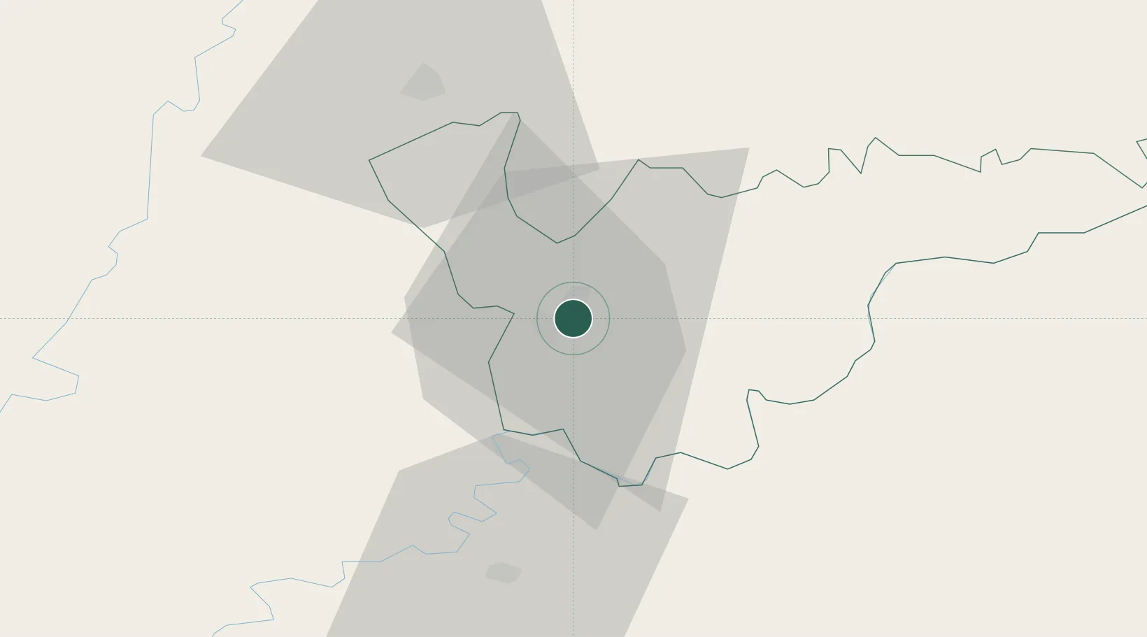
Mohale's Hoek
-30.1500°, 27.4667°
46,593
Population
1
Transport functions
Transport Functions
Multimodal
Hub Profile
Place type
Regional capital
Region
Mohale's Hoek District
Population
46,593
Time zone
Africa/Maseru
Elevation
1,598 m
Location
Nearby Logistics Neighbours
Ports
- 1East London323 km
- 2Durban348 km
- 3Port Elizabeth456 km
- 4Richards Bay472 km
- 5Mossel Bay671 km
Airports
- 1Moshoeshoe I International Airport78 km
- 2Ficksburg Sentraoes Airport154 km
- 3Bram Fischer International Airport163 km
- 4K. D. Matanzima Airport193 km
- 5Queenstown Airport205 km
Trade Zones
DatabookThe Record of Consolidated Knowledge
Lesotho beyond logistics?